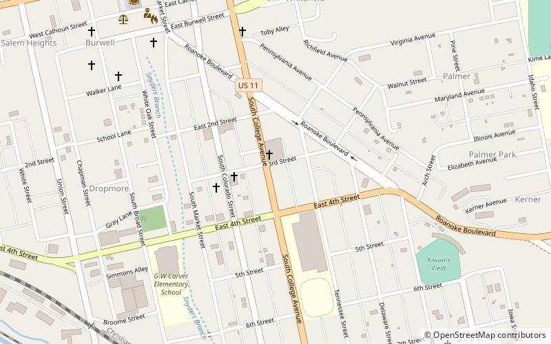
Salem City Schools, Salem

Map
Facts and practical information
Salem City Schools is a school division serving students living in Salem, Virginia. ()
Coordinates: 37°17'17"N, 80°3'10"W
Address
Salem
ContactAdd
Social media
Add
Day trips
Salem City Schools – popular in the area (distance from the attraction)
Nearby attractions include: Salem Civic Center, Salem Presbyterian Church, Thunder Valley Family Entertainment Center, Olin Hall Galleries.
Frequently Asked Questions (FAQ)
Which popular attractions are close to Salem City Schools?
Nearby attractions include Salem Presbyterian Parsonage, Salem (10 min walk), Salem Post Office, Salem (11 min walk), Old Roanoke County Courthouse, Salem (11 min walk), Williams-Brown House and Store, Salem (11 min walk).


