Mission Hills, San Diego
Map
Gallery
Facts and practical information
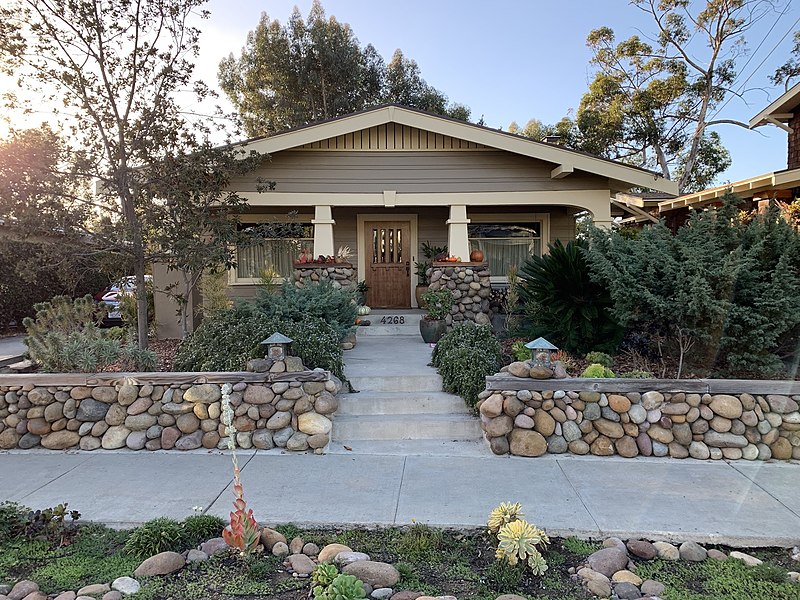
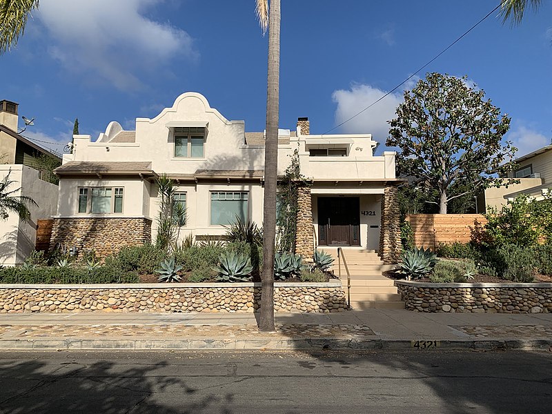
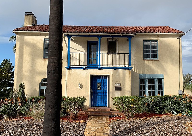
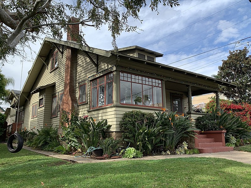
Mission Hills is an upscale affluent neighborhood of San Diego, California, USA. It is located on hills just south of the San Diego River valley and north of downtown San Diego, overlooking Old Town, Downtown San Diego, and San Diego Bay. ()
Coordinates: 32°45'11"N, 117°11'1"W
Address
Western San Diego (Mission Hills)San Diego
ContactAdd
Social media
Add
Day trips
Mission Hills – popular in the area (distance from the attraction)
Nearby attractions include: Old Town San Diego State Historic Park, MCRD San Diego Command Museum, Fashion Valley, Casa de Estudillo.
Frequently Asked Questions (FAQ)
Which popular attractions are close to Mission Hills?
Nearby attractions include Mission Hills United Methodist Church, San Diego (12 min walk), Heritage Park, San Diego (15 min walk), Haunted San Diego Ghost Tours, San Diego (16 min walk), Mormon Battalion Historic Site, San Diego (16 min walk).
How to get to Mission Hills by public transport?
The nearest stations to Mission Hills:
Light rail
Bus
Train
Light rail
- Washington Street • Lines: 510, 530 (20 min walk)
- Old Town • Lines: 510, 530 (24 min walk)
Bus
- San Diego Old Town • Lines: 2006, 2016, 2017, N2003 (23 min walk)
- Old Town San Diego State Historic Park (24 min walk)
Train
- Old Town (24 min walk)


