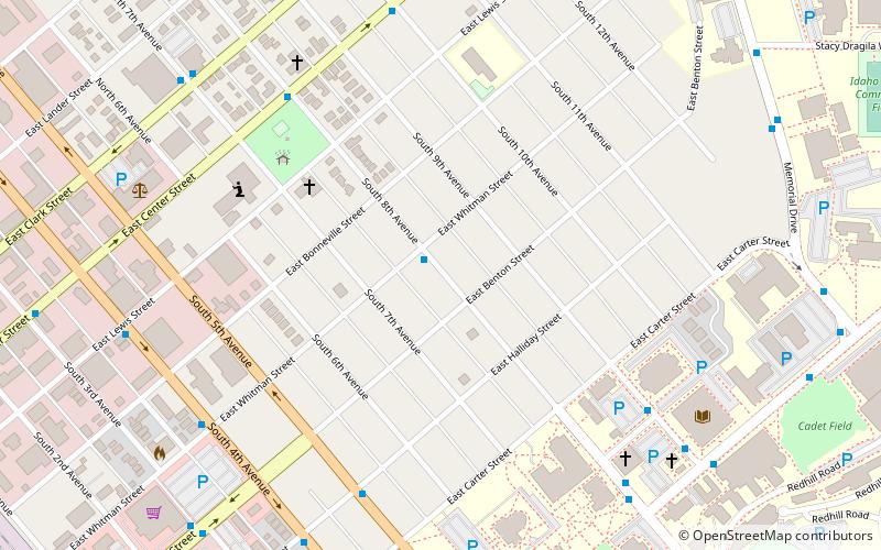
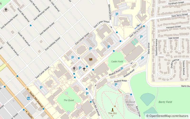
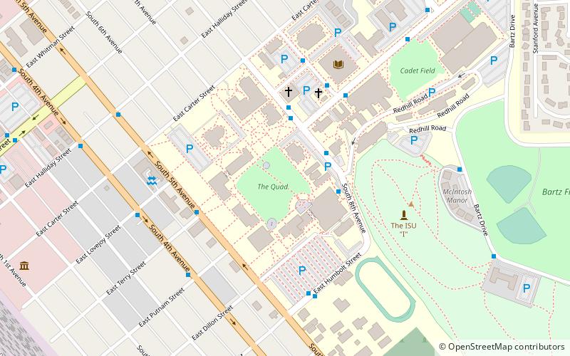
Idaho State University Neighborhood Historic District, Pocatello
Map
Facts and practical information
The Idaho State University Neighborhood Historic District in Pocatello, Idaho is a historic district which was listed on the National Register of Historic Places in 1984. ()
Coordinates: 42°51'57"N, 112°26'15"W
Address
Pocatello
ContactAdd
Social media
Add
Getting there by public transportation
Public transportation stops near this location
- Bus
 Bus
Bus
- Calculate routeClark at 14th 14 min walk
Day trips
Idaho State University Neighborhood Historic District – popular in the area (distance from the attraction)
Nearby attractions include: Idaho Museum of Natural History, Trinity Episcopal Church, St. Joseph's Catholic Church, Church of the Assumption.


Frequently Asked Questions (FAQ)
Which popular attractions are close to Idaho State University Neighborhood Historic District?
Nearby attractions include John Hood House, Pocatello (1 min walk), Idaho Museum of Natural History, Pocatello (7 min walk), Eli M. Oboler Library, Pocatello (8 min walk), Idaho State Arboretum, Pocatello (10 min walk).
How to get to Idaho State University Neighborhood Historic District by public transport?
The nearest stations to Idaho State University Neighborhood Historic District:
Bus
Bus
- Clark at 14th • Lines: B Route (14 min walk)