Sehring Castle, Joliet

Map
Facts and practical information
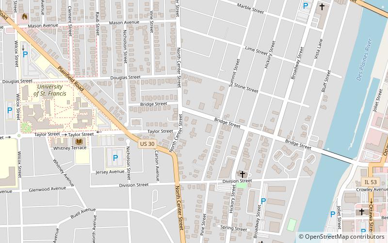
The Sehring Castle, commonly referred to as "The Castle" by its neighbouring community, is a 19th-century limestone house. It was built by Frederick Sehring in 1892 beside his brewery to house him and his family. Through the course of its life it has had many different occupants and purposes. It stands to this day at 310 Bridge Street, Joliet, Illinois. ()
Coordinates: 41°31'58"N, 88°5'28"W
Address
River BluffsJoliet
ContactAdd
Social media
Add
Day trips
Sehring Castle – popular in the area (distance from the attraction)
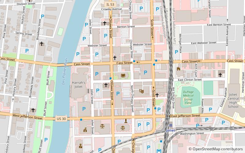
Nearby attractions include: Silver Cross Field, Harrah's Joliet, Rialto Square Theatre, Cathedral of St. Raymond Nonnatus.
Frequently Asked Questions (FAQ)
Which popular attractions are close to Sehring Castle?
Nearby attractions include University of St. Francis, Joliet (9 min walk), Upper Bluff Historic District, Joliet (10 min walk), Harrah's Joliet, Joliet (13 min walk), Cathedral of St. Raymond Nonnatus, Joliet (14 min walk).
How to get to Sehring Castle by public transport?
The nearest stations to Sehring Castle:
Bus
Train
Bus
- Joliet & Webster • Lines: 832 (11 min walk)
- Plainfield & Black • Lines: 507 (17 min walk)
Train
- Joliet (22 min walk)


