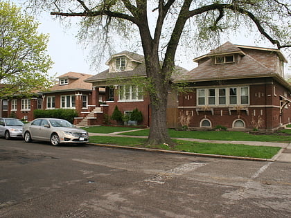
Belmont Cragin, Chicago
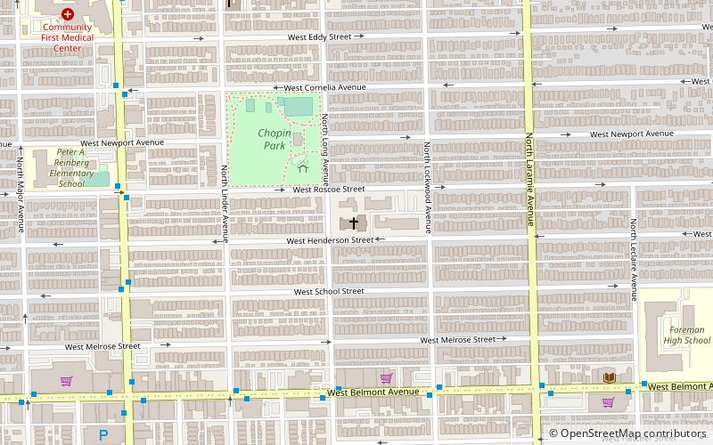
Map
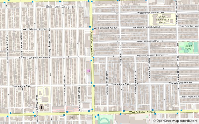
Map

Facts and practical information
Belmont Cragin is one of 77 officially designated Chicago community areas located on the Northwest Side of the City of Chicago, Illinois. It is designated Community Area 19, and is located 8 miles NW of the Loop. ()
Area: 3.94 mi²Coordinates: 41°55'38"N, 87°45'56"W
Address
Northwest Side (Belmont Cragin)Chicago
ContactAdd
Social media
Add
Day trips
Belmont Cragin – popular in the area (distance from the attraction)
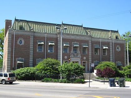
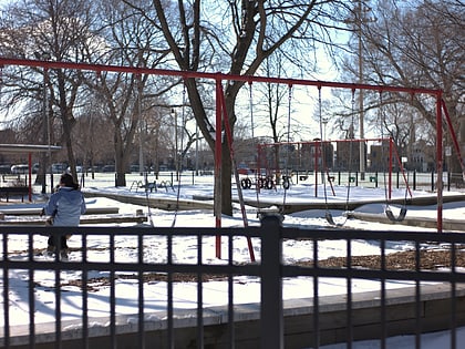
Nearby attractions include: Riis Park, Chopin Park, St. Ladislaus Roman Catholic Church, Steinmetz Alumni Association Page.
Frequently Asked Questions (FAQ)
Which popular attractions are close to Belmont Cragin?
Nearby attractions include Falconer Bungalow Historic District, Chicago (20 min walk), Riis Park, Chicago (22 min walk).
How to get to Belmont Cragin by public transport?
The nearest stations to Belmont Cragin:
Bus
Train
Bus
- Central & Wrightwood NB • Lines: 85 (1 min walk)
Train
- Hanson Park (19 min walk)
- Galewood (34 min walk)
 Rail "L"