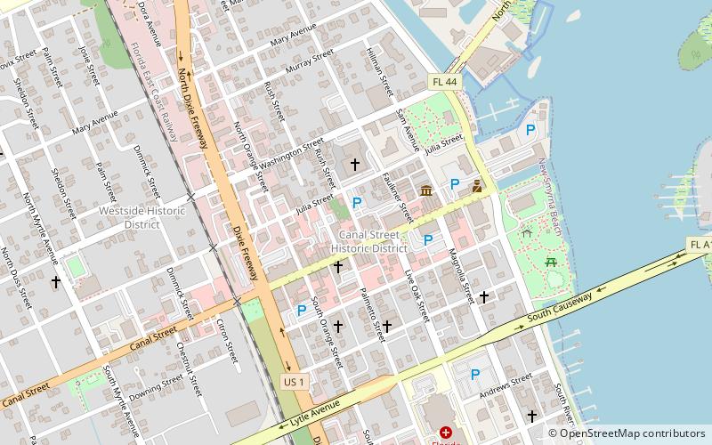
New Smyrna Beach Historic District, New Smyrna Beach
Map

Map

Facts and practical information
The New Smyrna Beach Historic District is a U.S. historic district located in New Smyrna Beach, Florida. The district is bounded by Riverside Drive, U.S. 1, Ronnoc Lane, and Smith Street. It contains 312 historic buildings. ()
Coordinates: 29°1'30"N, 80°55'27"W
Address
Canal DowntownNew Smyrna Beach
ContactAdd
Social media
Add
Day trips
New Smyrna Beach Historic District – popular in the area (distance from the attraction)
Nearby attractions include: New Smyrna Museum of History, Sugar Mill Ruins, Old Fort Park Archeological Site, First Presbyterian Church.
Frequently Asked Questions (FAQ)
Which popular attractions are close to New Smyrna Beach Historic District?
Nearby attractions include New Smyrna Museum of History, New Smyrna Beach (3 min walk), The Hub on Canal, New Smyrna Beach (4 min walk), Old Fort Park Archeological Site, New Smyrna Beach (5 min walk), Arts on Douglas, New Smyrna Beach (6 min walk).


