Biltmore Area, Phoenix
Facts and practical information
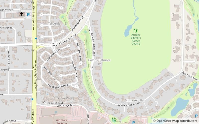
The Biltmore is an upscale residential neighborhood & financial district in central North East Phoenix, Arizona. It is the city's most acclaimed neighborhood, largely due to its location, near the Arizona Biltmore Hotel. The local landmark was opened on 23 February 1929. The Resort is surrounded by two 18 hole championship golf courses built in 1928 and 1977 along with some of the most exclusive homes in the Valley of the Sun. The greater area is known as a financial district surrounded by upscale shopping, dining, and for its quality of life. The financial district is clustered with business and residential mid-rise tower buildings and gated neighborhoods along a line known as the "Camelback Corridor" which extends from Central Avenue, East on Camelback Road into Scottsdale. ()
Camelback EastPhoenix
- Bus
 Bus
Bus
- Calculate route12402 12 min walk
- Calculate route14486 15 min walk


Frequently Asked Questions (FAQ)
How to get to Biltmore Area by public transport?
Bus
- 12402 • Lines: 70 Wb (12 min walk)
- 14486 • Lines: 70 Eb (15 min walk)