Terra Linda, San Rafael
Map

Map

Facts and practical information
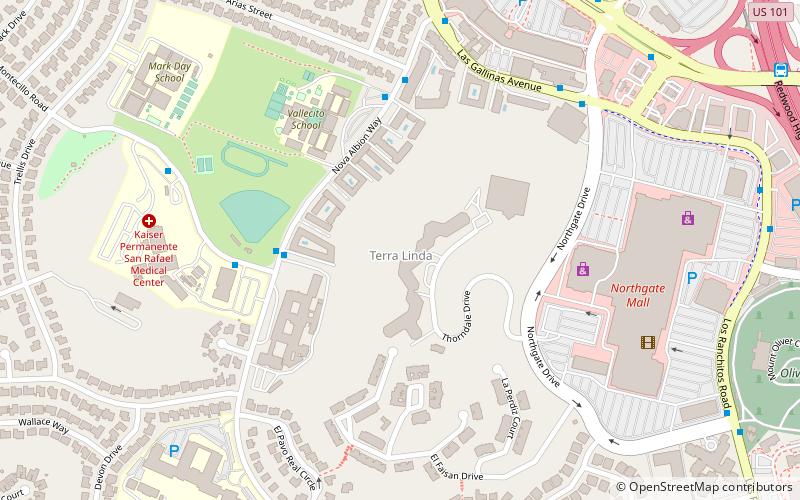
Terra Linda is a district of the city of San Rafael, California. It was formerly an unincorporated community within Marin County. It lies at an elevation of 171 feet. ()
Coordinates: 38°0'15"N, 122°32'59"W
Address
Terra LindaSan Rafael
ContactAdd
Social media
Add
Day trips
Terra Linda – popular in the area (distance from the attraction)
Nearby attractions include: Northgate Mall, Marin County Civic Center, Mount Tamalpais Cemetery, Puerto Suello Hill Tunnel.
Frequently Asked Questions (FAQ)
How to get to Terra Linda by public transport?
The nearest stations to Terra Linda:
Bus
Train
Bus
- Nova Albion Way & Montecillo Road • Lines: 245, 257 (4 min walk)
- Kaiser Hospital Lot A • Lines: 245, 257 (5 min walk)
Train
- Marin Civic Center (18 min walk)


