Stanwix Street, Pittsburgh
Map
Facts and practical information
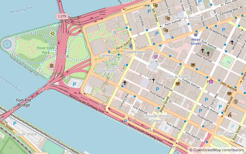
Stanwix Street is a street nearly half a mile long near The Point in Downtown Pittsburgh. Running south from the Allegheny River to the Monongahela River, it is the western terminus of Forbes Avenue, and intersects 8 other streets. On it sits PPG Place and Fifth Avenue Place, the 3rd and 4th tallest buildings in Pittsburgh. ()
Coordinates: 40°26'24"N, 80°0'17"W
Address
Central Pittsburgh (Downtown Pittsburgh)Pittsburgh
ContactAdd
Social media
Add
Getting there by public transportation
Public transportation stops near this location
- Bus
- Light rail
- Train
 Bus
Bus
- Calculate routeBlvd of the Allies at Stanwix Street 1 min walk
- Calculate routeLiberty Ave at Stanwix St 3 min walk
- Calculate routeLiberty Ave at Wyndham Grand 3 min walk
- Calculate routeWood Street 8 min walk
- Calculate routeSteel Plaza 13 min walk
- Calculate routeFirst Avenue 14 min walk
- Calculate routeNorth Side 16 min walk
- Calculate routePittsburgh Union Station 20 min walk
Day trips
Stanwix Street – popular in the area (distance from the attraction)
Nearby attractions include: PNC Park, Highmark Stadium, PPG Place, Benedum Center.


Frequently Asked Questions (FAQ)
Which popular attractions are close to Stanwix Street?
Nearby attractions include Diocese of Pittsburgh, Pittsburgh (1 min walk), PPG Place, Pittsburgh (2 min walk), United Steelworkers Building, Pittsburgh (2 min walk), River Vue, Pittsburgh (3 min walk).
How to get to Stanwix Street by public transport?
The nearest stations to Stanwix Street:
Bus
Light rail
Train
Bus
- Blvd of the Allies at Stanwix Street • Lines: 3 (1 min walk)
- Liberty Ave at Stanwix St • Lines: P10 (3 min walk)
Light rail
- Wood Street • Lines: Blue, Red, Silver (8 min walk)
- Steel Plaza • Lines: Blue, Red, Silver (13 min walk)
Train
- Pittsburgh Union Station (20 min walk)