Dorshei Derekh, Philadelphia
Map
Facts and practical information
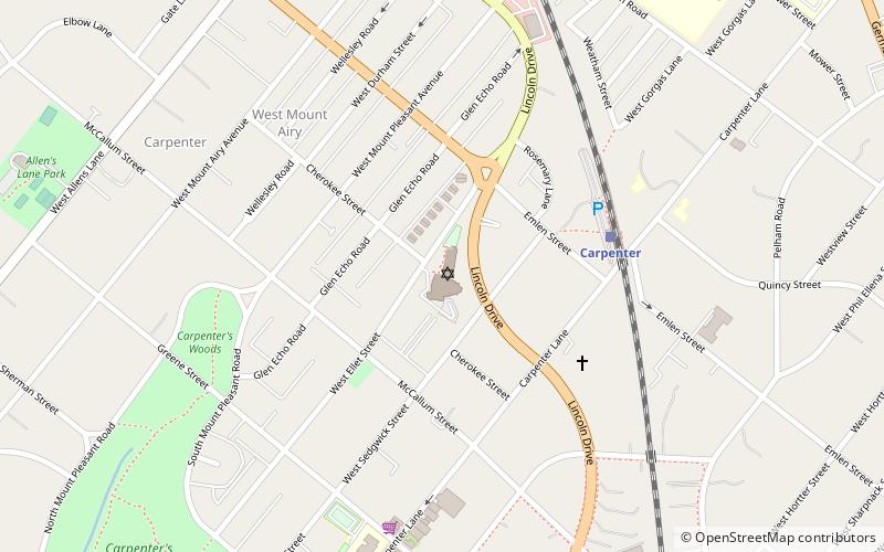
Dorshei Derekh is a Jewish prayer group at Germantown Jewish Centre in the Mt. Airy neighborhood of Philadelphia. Its name is Hebrew for "Seekers of a Way." The minyan is an affiliate of the Reconstructing Judaism. ()
Coordinates: 40°3'1"N, 75°11'42"W
Address
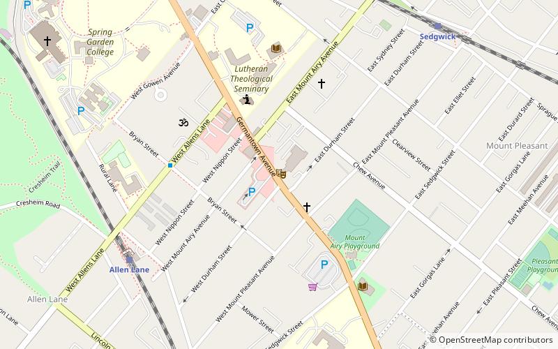
Upper Northwest (West Mount Airy)Philadelphia
ContactAdd
Social media
Add
Getting there by public transportation
Public transportation stops near this location
- Train
 Train
Train
- Calculate routeCarpenter 5 min walk
- Calculate routeAllen Lane 13 min walk
- Calculate routeUpsal 16 min walk
- Calculate routeSedgwick 26 min walk
Maps SEPTA Regional Rail
SEPTA Regional RailDay trips


Frequently Asked Questions (FAQ)
Which popular attractions are close to Dorshei Derekh?
Nearby attractions include Charles W. Henry School, Philadelphia (8 min walk), Beggarstown School, Philadelphia (14 min walk), St. Michael's Evangelical Lutheran Church, Philadelphia (15 min walk), Sedgwick Theater, Philadelphia (18 min walk).
How to get to Dorshei Derekh by public transport?
The nearest stations to Dorshei Derekh:
Train
Train
- Carpenter (5 min walk)
- Allen Lane (13 min walk)