Cloverdale Historic District, Montgomery
Map

Map

Facts and practical information
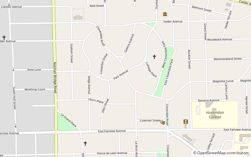
The Cloverdale Historic District is a 156-acre historic district in Montgomery, Alabama. It is roughly bounded by Norman Bridge and Cloverdale roads, Fairview and Felder avenues, and Boultier Street. It contains 463 contributing buildings and 4 structures that date from the mid-19th to the early 20th centuries. The district was placed on the National Register of Historic Places on September 12, 1985. ()
Coordinates: 32°21'18"N, 86°17'42"W
Address
Old CloverdaleMontgomery
ContactAdd
Social media
Add
Day trips
Cloverdale Historic District – popular in the area (distance from the attraction)
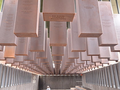
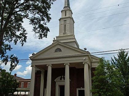
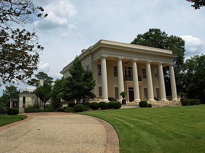
Nearby attractions include: National Memorial for Peace and Justice, Alabama Governor's Mansion, Temple Beth Or, Agudath Israel Etz Ahayem.
Frequently Asked Questions (FAQ)
Which popular attractions are close to Cloverdale Historic District?
Nearby attractions include Cloverdale-Idlewild, Montgomery (12 min walk), Trinity Presbyterian Church, Montgomery (14 min walk), Alabama State University, Montgomery (15 min walk), Huntingdon College, Montgomery (17 min walk).


