First Street Bridge, Napa

Map
Facts and practical information
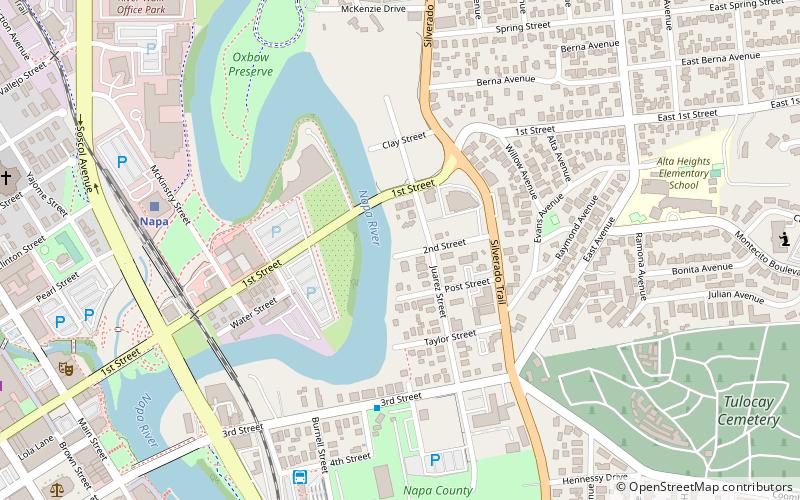
The First Street Bridge in Napa, California brings First Street over the Napa River. It was built in 1914 and was listed on the National Register of Historic Places in 2004. ()
Coordinates: 38°18'6"N, 122°16'42"W
Address
SoscolNapa
ContactAdd
Social media
Add
Day trips
First Street Bridge – popular in the area (distance from the attraction)
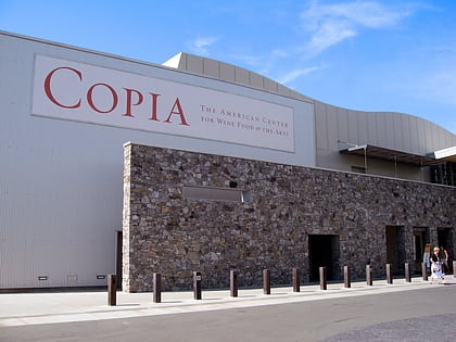
Nearby attractions include: Copia, Napa Valley Opera House, First Presbyterian Church, CIA at Copia.
Frequently Asked Questions (FAQ)
Which popular attractions are close to First Street Bridge?
Nearby attractions include CIA at Copia, Napa (4 min walk), Copia, Napa (4 min walk), Winship-Smernes Building, Napa (9 min walk), Semorile Building, Napa (9 min walk).
How to get to First Street Bridge by public transport?
The nearest stations to First Street Bridge:
Bus
Train
Bus
- Soscol Gateway Transit Center (8 min walk)
Train
- Napa (8 min walk)


