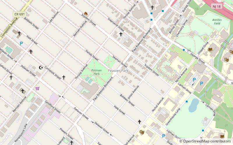
Feaster Park, New Brunswick
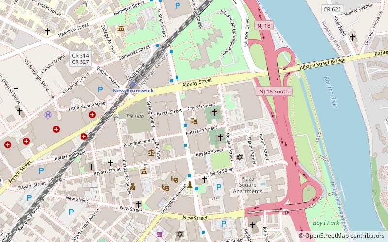
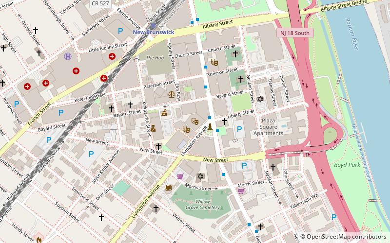
Map
Facts and practical information
Feaster Park is a city park in New Brunswick in Middlesex County, New Jersey, United States in the neighborhood of the same name. ()
Coordinates: 40°29'4"N, 74°26'34"W
Address
New Brunswick (Feaster Park)New Brunswick
ContactAdd
Social media
Add
Getting there by public transportation
Public transportation stops near this location
- Bus
- Train
 Bus
Bus
- Calculate routeGeorge St. at Commercial Ave. 7 min walk
- Calculate routePublic Safety Building South 7 min walk
- Calculate routeCabaret Theater 7 min walk
- Calculate routeCollege Hall 8 min walk
- Calculate routeNew Brunswick 23 min walk
Day trips


Frequently Asked Questions (FAQ)
Which popular attractions are close to Feaster Park?
Nearby attractions include Rutgers School of Environmental and Biological Sciences, New Brunswick (8 min walk), William H. Johnson House, New Brunswick (9 min walk), Voorhees Chapel, New Brunswick (11 min walk), Willow Grove Cemetery, New Brunswick (11 min walk).
How to get to Feaster Park by public transport?
The nearest stations to Feaster Park:
Bus
Train
Bus
- George St. at Commercial Ave. • Lines: 815 (7 min walk)
- Public Safety Building South • Lines: 815, Ee, F (7 min walk)
Train
- New Brunswick (23 min walk)