Browncroft, Rochester
Map
Gallery
Facts and practical information
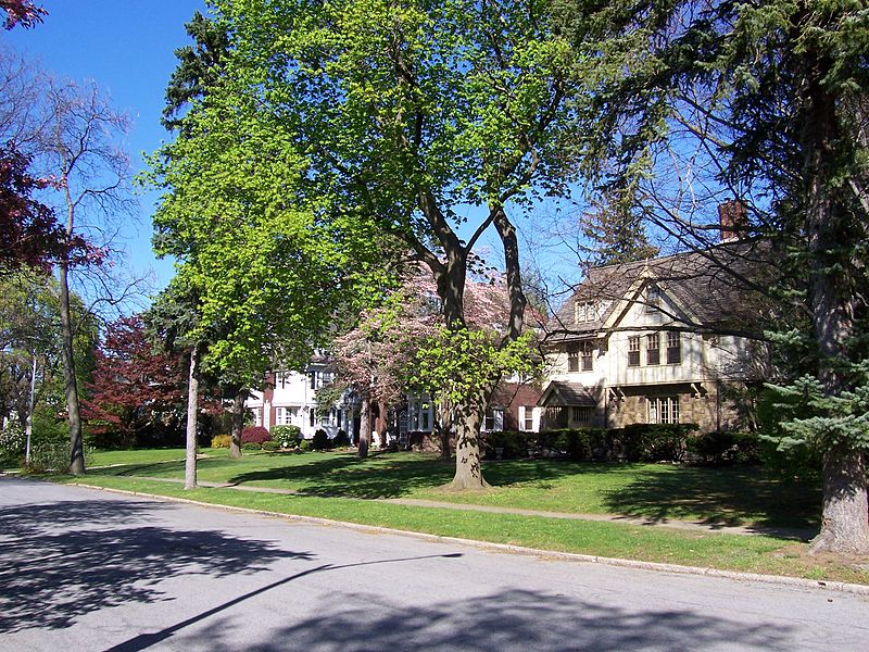
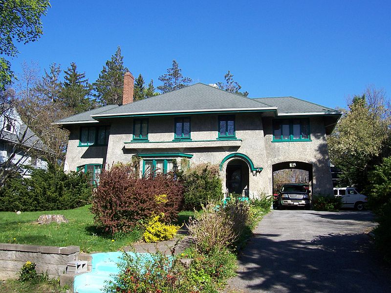
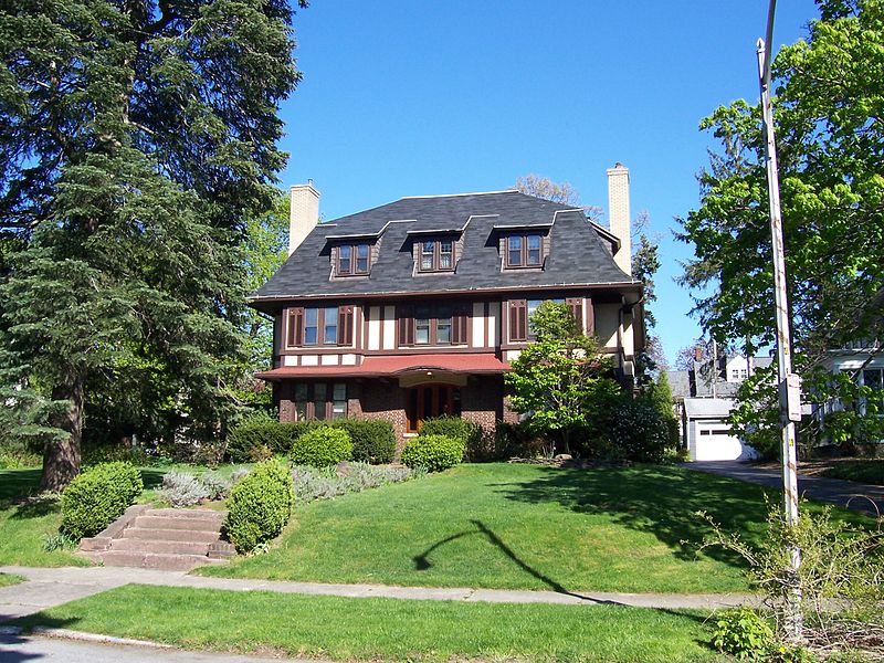
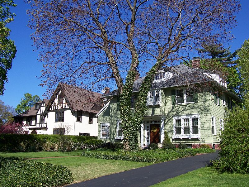
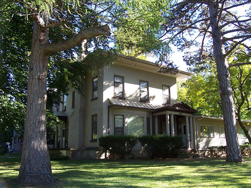
The Browncroft Historic District is a national historic district located in the Browncroft neighborhood of Rochester, New York. The district contains 518 contributing buildings, two contributing sites, two contributing objects, and two contributing structures over 116 acres. It includes 417 residential properties constructed between 1914 and World War II. ()
Coordinates: 43°9'25"N, 77°32'39"W
Address
Southeast Rochester (Browncroft)Rochester
ContactAdd
Social media
Add
Day trips
Browncroft – popular in the area (distance from the attraction)
Nearby attractions include: First Unitarian Church of Rochester, Stone-Tolan House, Artisan Works, Saint Mark's and Saint John's Episcopal Church.
Frequently Asked Questions (FAQ)
How to get to Browncroft by public transport?
The nearest stations to Browncroft:
Bus
Bus
- Blossom Loop Connection Hub (14 min walk)


