Mango Promenade Historic District, West Palm Beach
Map

Map

Facts and practical information
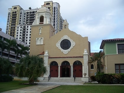
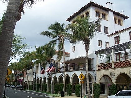
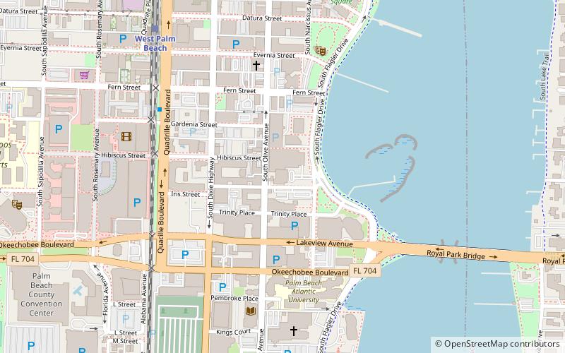
The Mango Promenade Historic District is a U.S. historic district located in West Palm Beach, Florida. The district is bounded by South Dixie Highway, Austin Lane, Coconut Lane, and Cranesnest Way. It contains 125 historic buildings. ()
Coordinates: 26°41'57"N, 80°3'12"W
Address
Southend (Mango Promenade)West Palm Beach
ContactAdd
Social media
Add
Day trips
Mango Promenade Historic District – popular in the area (distance from the attraction)
Nearby attractions include: Worth Avenue, The Square, Norton Museum of Art, Ann Norton Sculpture Gardens.
Frequently Asked Questions (FAQ)
Which popular attractions are close to Mango Promenade Historic District?
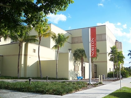
Nearby attractions include Norton Museum of Art, West Palm Beach (3 min walk), Palm Beach County Fire Rescue, West Palm Beach (6 min walk), Grandview Heights Historic District, West Palm Beach (8 min walk), Ann Norton Sculpture Gardens, West Palm Beach (9 min walk).
How to get to Mango Promenade Historic District by public transport?
The nearest stations to Mango Promenade Historic District:
Bus
Bus
- FlixBus West Palm Beach • Lines: 2411 (27 min walk)


