Wraggborough, Charleston
Map
Facts and practical information
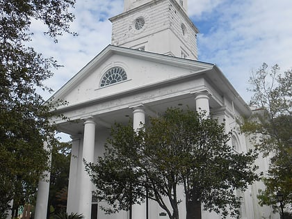
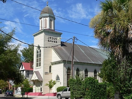
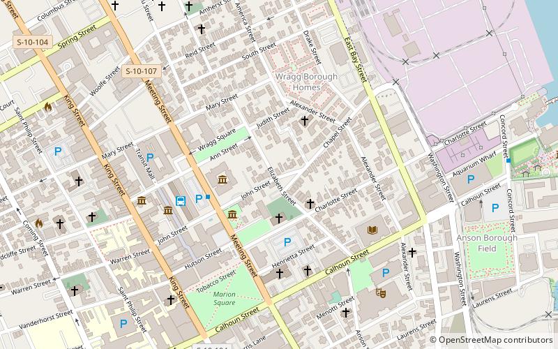
Wraggborough is a neighborhood in downtown Charleston, South Carolina, named after slave trader Joseph Wragg, and noted for its association with the slave trade. Wraggborough is part of Mazyck-Wraggborough, also referred to as Wraggborough for short. ()
Coordinates: 32°47'24"N, 79°56'2"W
Address
The Boroughs (Mazyck - Wraggborough)Charleston
ContactAdd
Social media
Add
Day trips
Wraggborough – popular in the area (distance from the attraction)
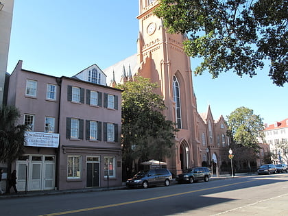
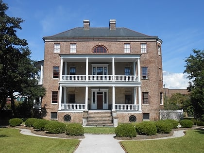
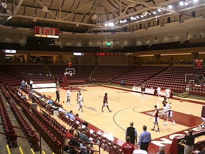
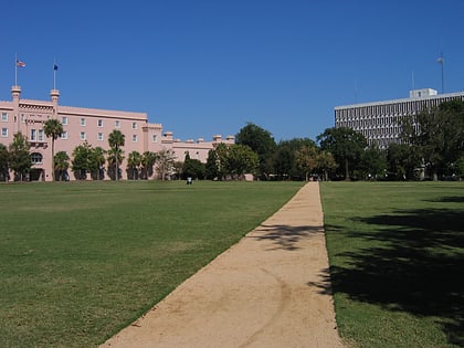
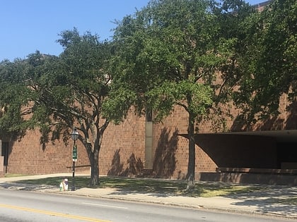
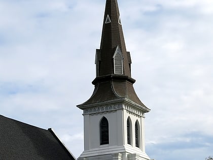
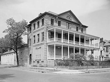
Nearby attractions include: St. Matthews Lutheran Church, Joseph Manigault House, TD Arena, Marion Square.
Frequently Asked Questions (FAQ)
Which popular attractions are close to Wraggborough?
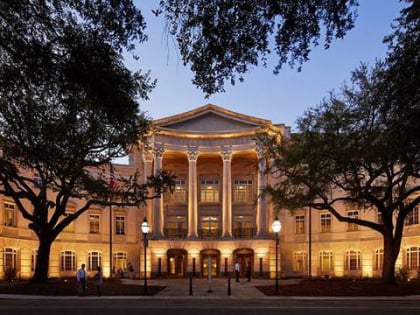
Nearby attractions include Tiedemann Park, Charleston (1 min walk), Second Presbyterian Church, Charleston (3 min walk), Charleston Museum, Charleston (3 min walk), Joseph Manigault House, Charleston (3 min walk).
