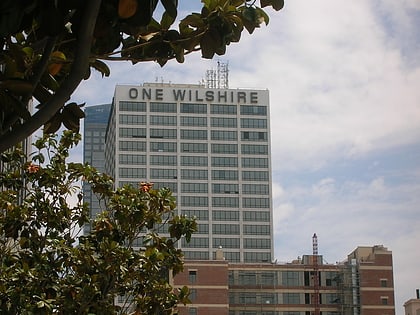
Promenade Towers, Los Angeles
Map
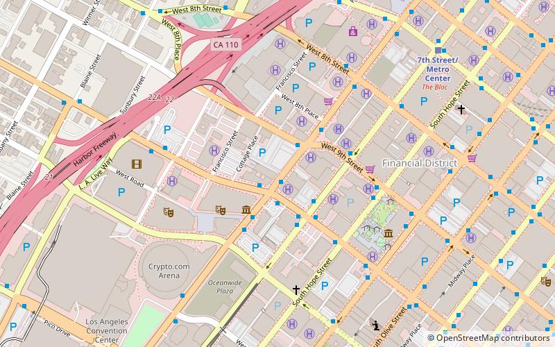
Map

Facts and practical information
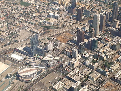
Promenade Towers is a high-rise apartment complex in Bunker Hill, Los Angeles, California, U.S. Developed by three Holocaust survivors, it was designed in the modernist architectural style, with palm trees and exotic plants between the towers, and completed in 1985. ()
Coordinates: 34°2'44"N, 118°15'49"W
Address
Central Los Angeles (Downtown Los Angeles)Los Angeles
ContactAdd
Social media
Add
Day trips
Promenade Towers – popular in the area (distance from the attraction)
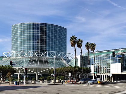
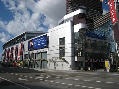
Nearby attractions include: Staples Center, Los Angeles Convention Center, FIGat7th, Grammy Museum.
Frequently Asked Questions (FAQ)
Which popular attractions are close to Promenade Towers?
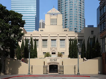
Nearby attractions include Olympic Boulevard, Los Angeles (3 min walk), Grammy Museum, Los Angeles (3 min walk), Conga Room, Los Angeles (4 min walk), Grand Hope Park, Los Angeles (5 min walk).
How to get to Promenade Towers by public transport?
The nearest stations to Promenade Towers:
Bus
Metro
Light rail
Bus
- Figueroa Street & Olympic Boulevard • Lines: J (1 min walk)
- Flower Street & 7th Street • Lines: J (9 min walk)
Metro
- 7th Street/Metro Center • Lines: B, D (10 min walk)
- Pershing Square • Lines: B, D (20 min walk)
Light rail
- Pico • Lines: A, E (10 min walk)
- 7th Street/Metro Center • Lines: A, E (10 min walk)

 Metro & Regional Rail
