Foster Park Neighborhood Historic District, Fort Wayne
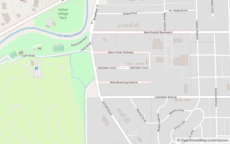
Map

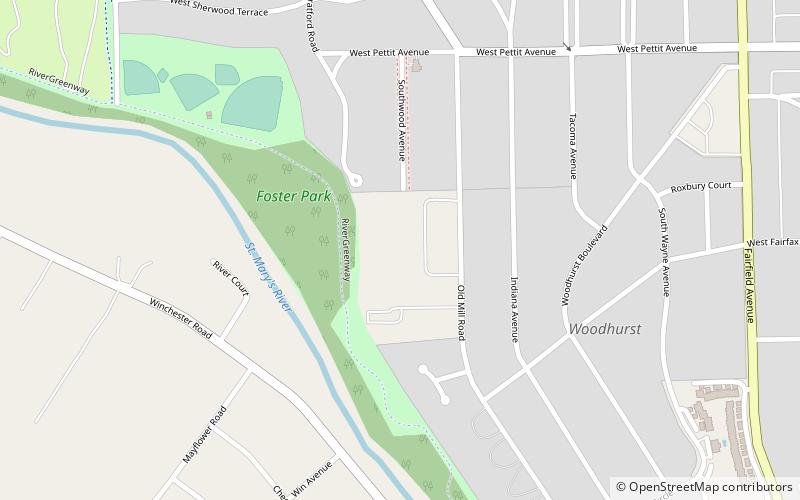
Map

Facts and practical information
Foster Park Neighborhood Historic District is a national historic district located at Fort Wayne, Indiana. The district encompasses 222 contributing buildings in a predominantly residential section of Fort Wayne. The area was developed from about 1924 to 1963, and includes notable examples of Colonial Revival, Tudor Revival, and Bungalow / American Craftsman style residential architecture. The neighborhood was platted and designed by Hilgeman & Schaaf. ()
Coordinates: 41°2'52"N, 85°9'20"W
Address
Foster ParkFort Wayne
ContactAdd
Social media
Add
Day trips
Foster Park Neighborhood Historic District – popular in the area (distance from the attraction)
Nearby attractions include: Bobick's Golf Headquarters, Richardville House, Harry A. Keplinger House, Congregation Achduth Vesholom.
Frequently Asked Questions (FAQ)
Which popular attractions are close to Foster Park Neighborhood Historic District?
Nearby attractions include Illsley Place–West Rudisill Historic District, Fort Wayne (6 min walk), Oakdale Historic District, Fort Wayne (13 min walk), Southwood Park Historic District, Fort Wayne (14 min walk), Congregation Achduth Vesholom, Fort Wayne (22 min walk).


