Northbrae Tunnel, Berkeley
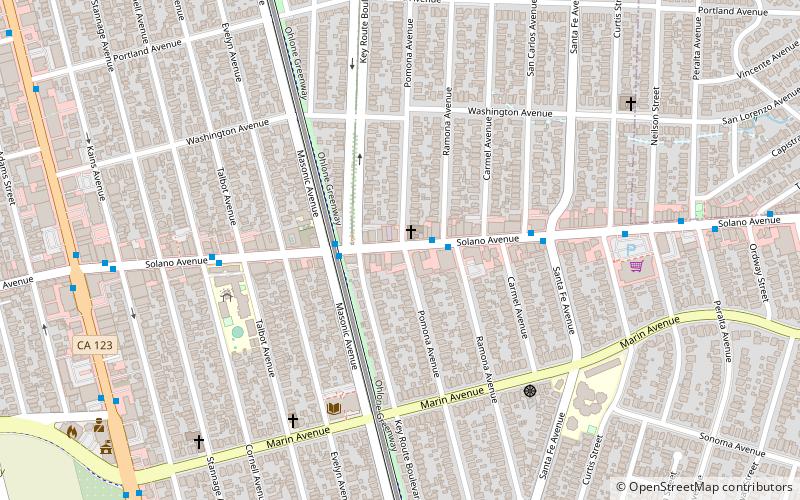
Map

Map

Facts and practical information
The Northbrae Tunnel, also referred to as the Solano Avenue Tunnel, was built as a commuter electric railroad tunnel in the northern part of Berkeley, California, and was later converted to street use. ()
Coordinates: 37°53'25"N, 122°16'22"W
Address
Berkeley (Northbrae)Berkeley
ContactAdd
Social media
Add
Day trips
Northbrae Tunnel – popular in the area (distance from the attraction)
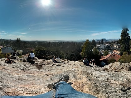
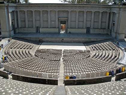
Nearby attractions include: Solano Avenue, Tilden Park Merry-Go-Round, Indian Rock Park, Greek Theatre.
Frequently Asked Questions (FAQ)
Which popular attractions are close to Northbrae Tunnel?
Nearby attractions include Indian Rock Park, Berkeley (4 min walk), Live Oak Park, Berkeley (12 min walk), Cragmont, Berkeley (14 min walk), Edible Schoolyard, Berkeley (15 min walk).
How to get to Northbrae Tunnel by public transport?
The nearest stations to Northbrae Tunnel:
Bus
Metro
Bus
- Marin Avenue & The Circle • Lines: 7 (1 min walk)
- Sutter Street & Hopkins Street • Lines: 18, 7, Fs (4 min walk)
Metro
- North Berkeley • Lines: Orange, Red (33 min walk)

