Pulaski Heights, Little Rock

Map
Facts and practical information
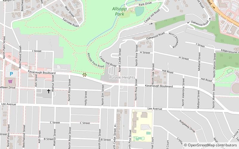
Pulaski Heights is a section of the city of Little Rock, Arkansas, located in the north-central portion of the city. The area comprises two distinct neighborhoods representing an historic suburb dating from the 1890s that was among the first areas to be annexed into Little Rock. ()
Coordinates: 34°45'26"N, 92°19'1"W
Address
HillcrestLittle Rock
ContactAdd
Social media
Add
Day trips
Pulaski Heights – popular in the area (distance from the attraction)
Nearby attractions include: War Memorial Stadium, Little Rock Zoo, Arkansas School for the Deaf, Block Realty-Baker House.
Frequently Asked Questions (FAQ)
Which popular attractions are close to Pulaski Heights?
Nearby attractions include Adrian Brewer Studio, Little Rock (1 min walk), Hillcrest, Little Rock (1 min walk), McLean House, Little Rock (10 min walk), Reid House, Little Rock (14 min walk).


