Old West End District, Toledo
Map
Gallery
Facts and practical information
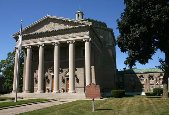
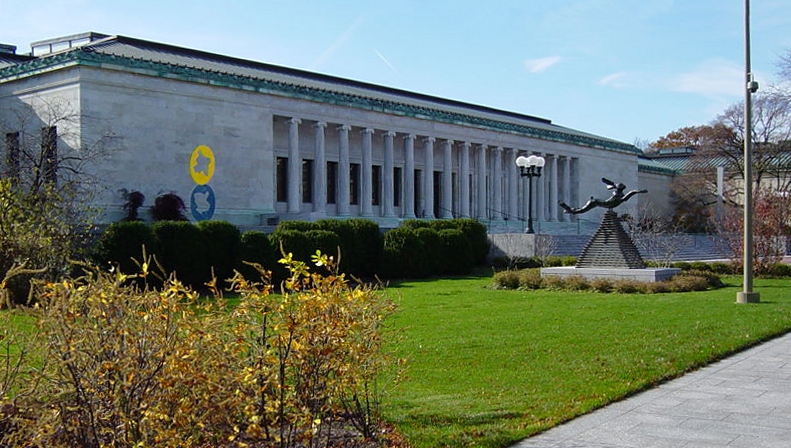
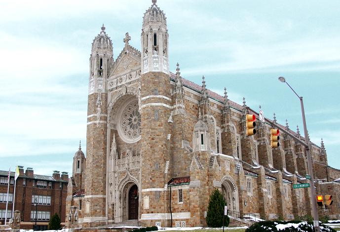
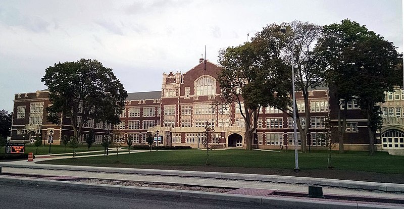
The Old West End is a historic neighborhood in Toledo, Ohio and is considered to be "the largest neighborhood of late Victorian, Edwardian, and Arts & Crafts homes east of the Mississippi." The south end of the neighborhood is bounded by the Toledo Museum of Art and the eastern edge by churches of many denominations on Collingwood Boulevard. The area has homes varying in area from 1,200 to 10,000 square feet. ()
Coordinates: 41°39'50"N, 83°33'33"W
Address
Old West EndToledo
ContactAdd
Social media
Add
Day trips
Old West End District – popular in the area (distance from the attraction)
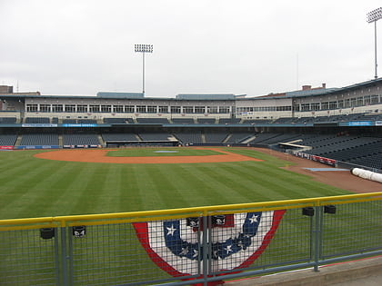
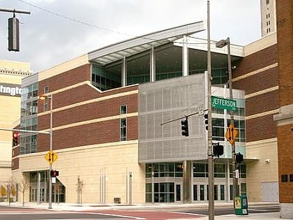
Nearby attractions include: Toledo Museum of Art, Fifth Third Field, Huntington Center, SeaGate Convention Centre.
Frequently Asked Questions (FAQ)
Which popular attractions are close to Old West End District?
Nearby attractions include The Old West End, Toledo (8 min walk), Collingwood Arts Center, Toledo (10 min walk), First Church of Christ, Toledo (10 min walk), Toledo Museum of Art, Toledo (10 min walk).
How to get to Old West End District by public transport?
The nearest stations to Old West End District:
Bus
Bus
- TARTA Central Garage (28 min walk)
- TARTA - Park Station (35 min walk)


