Boyd Hill, Rock Hill
Map
Map

Facts and practical information
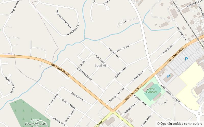
Boyd Hill was an unincorporated community in western York County, South Carolina, but was annexed into the city of Rock Hill in the late 1940s. Boyd Hill is now a neighborhood of Rock Hill located at latitude 34.9396, longitude -81.0442 off of Cherry Road in the southwestern portion of the city. The elevation of the neighborhood is 641 feet. ()
Coordinates: 34°56'23"N, 81°2'39"W
Address
Rock Hill
ContactAdd
Social media
Add
Day trips
Boyd Hill – popular in the area (distance from the attraction)
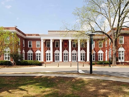
Nearby attractions include: Rock Hill Downtown Historic District, First Presbyterian Church, Tillman Hall, Main Street Children's Museum.
Frequently Asked Questions (FAQ)
Which popular attractions are close to Boyd Hill?
Nearby attractions include Winthrop College Historic District, Rock Hill (19 min walk), Winthrop University, Rock Hill (20 min walk), Tillman Hall, Rock Hill (21 min walk), Laurelwood Cemetery, Rock Hill (22 min walk).


