Ustick School, Boise
Map
Map

Facts and practical information
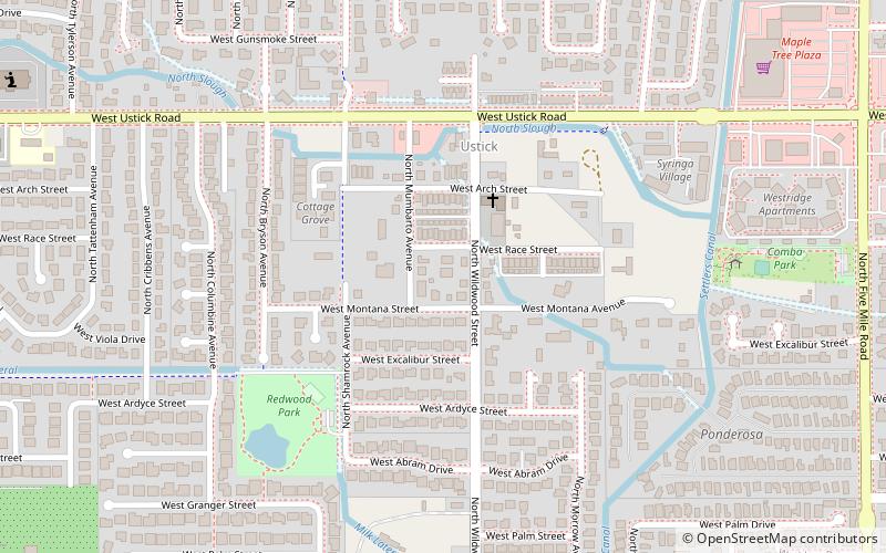
Ustick School in Boise, Idaho, is a 2-story, 4-room Colonial Revival schoolhouse constructed in 1909 in the former town of Ustick. The school was added to the National Register of Historic Places in 1982. ()
Coordinates: 43°37'54"N, 116°19'21"W
Address
West ValleyBoise
ContactAdd
Social media
Add
Day trips
Ustick School – popular in the area (distance from the attraction)
Nearby attractions include: Boise Towne Square, Aquarium, Ann Morrison Park, Hillcrest Country Club.
Frequently Asked Questions (FAQ)
How to get to Ustick School by public transport?
The nearest stations to Ustick School:
Bus
Bus
- West McMillan Road & North Shamrock Avenue SEC • Lines: 8X (30 min walk)


