Spring Street Historic District, Portland
Map
Map

Facts and practical information
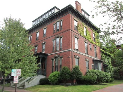
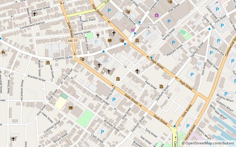
The Spring Street Historic District encompasses surviving elements of the 19th-century commercial and surviving residential areas of Portland, Maine. Encompassing a portion of the city's Arts District and an eastern portion of its West End, the district has a significant concentration of residential and commercial buildings that survived the city's devastating 1866 fire. The district was listed on the National Register of Historic Places in 1970. ()
Coordinates: 43°39'8"N, 70°15'50"W
Address
Downtown PortlandPortland
ContactAdd
Social media
Add
Day trips
Spring Street Historic District – popular in the area (distance from the attraction)
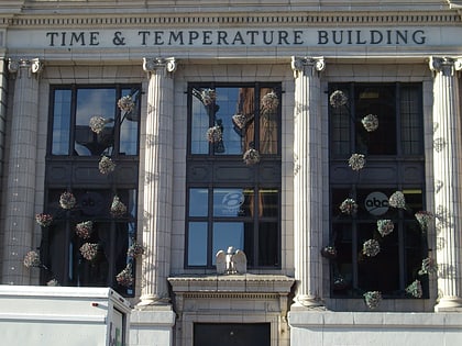
Nearby attractions include: Cross Insurance Arena, Time and Temperature Building, Thomas Brackett Reed House, Portland Museum of Art.
Frequently Asked Questions (FAQ)
Which popular attractions are close to Spring Street Historic District?
Nearby attractions include Portland Fire Museum, Portland (1 min walk), Cathedral Church of St. Luke, Portland (1 min walk), Park Street Row, Portland (2 min walk), State Theatre, Portland (3 min walk).
How to get to Spring Street Historic District by public transport?
The nearest stations to Spring Street Historic District:
Bus
Ferry
Bus
- York Street + State Street, Stop 1184 • Lines: Bus Route SMTT 21 Outbound (8 min walk)
- Congress St + Center St • Lines: 2, Brz (10 min walk)
Ferry
- Casco Bay Lines Ferry Terminal (22 min walk)


