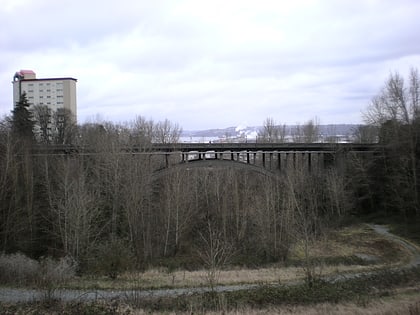
Fern Hill, Tacoma
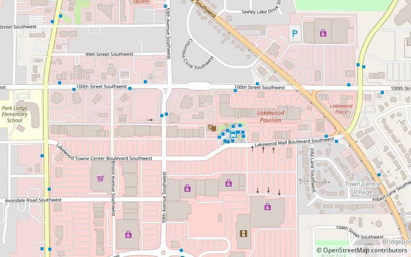
Map
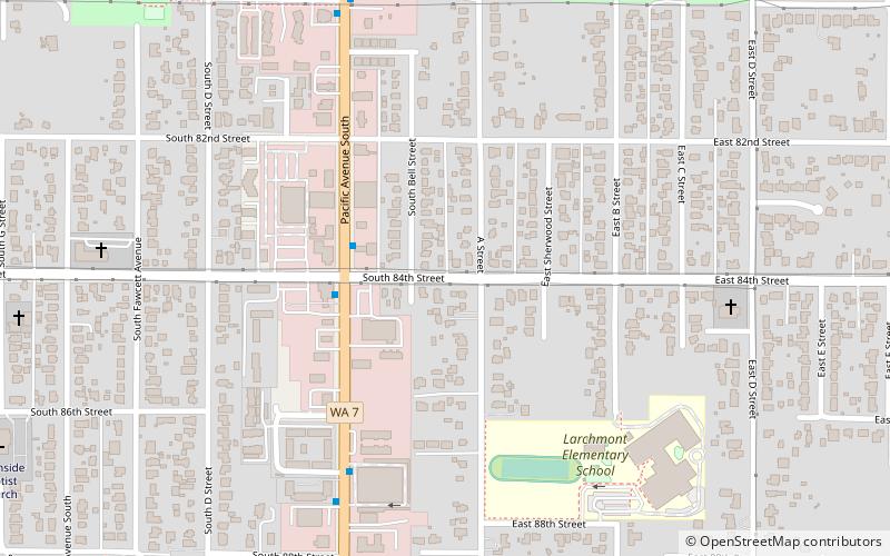
Map

Facts and practical information
Fern Hill is a neighborhood located in the southern part of Tacoma, Washington. It is generally defined as extending north to S. 72nd St, south to the city boundaries at 96th St, west to S. Sheridan Ave, and east to Pacific Avenue. ()
Coordinates: 47°10'51"N, 122°25'56"W
Address
South EndTacoma
ContactAdd
Social media
Add
Day trips
Fern Hill – popular in the area (distance from the attraction)
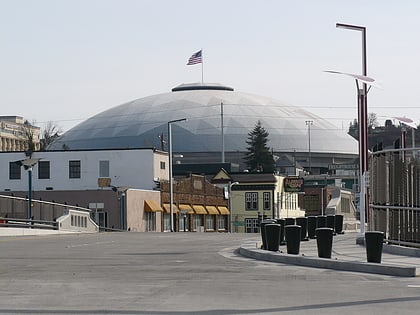
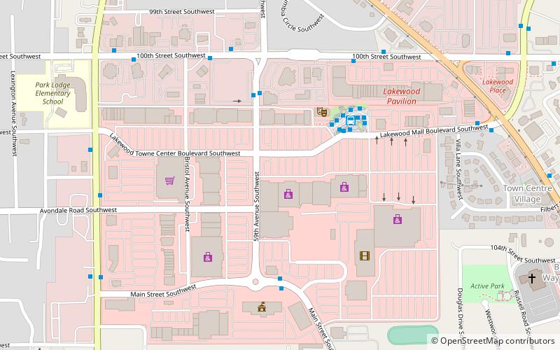
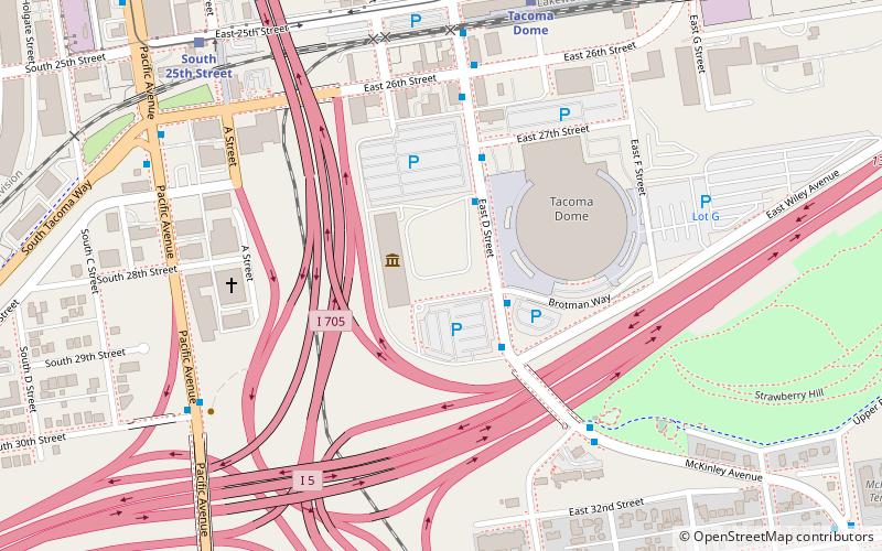
Nearby attractions include: LeMay - America's Car Museum, Tacoma Mall, Tacoma Dome, Lakewood Towne Center.
Frequently Asked Questions (FAQ)
How to get to Fern Hill by public transport?
The nearest stations to Fern Hill:
Bus
Bus
- 72nd St Transit Center Zone D • Lines: 409 (33 min walk)
- 72nd St Transit Center Zone E • Lines: 54 (33 min walk)


