Baltimore Highlands, Baltimore
Map
Facts and practical information
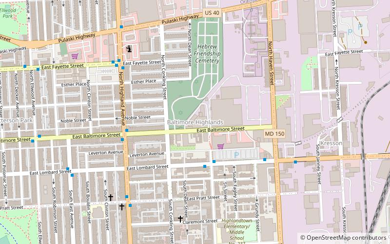
Baltimore Highlands is a neighborhood in the Southeast District of Baltimore, located between the neighborhoods of Patterson Park and Kresson. Its boundaries are drawn by Pulaski Highway, East Baltimore Street, Haven Street and North Clinton Street. ()
Coordinates: 39°17'34"N, 76°33'59"W
Address
Southeastern Baltimore (Baltimore Highlands)Baltimore
ContactAdd
Social media
Add
Getting there by public transportation
Public transportation stops near this location
- Bus
 Bus
Bus
- Calculate routeHighland Avenue & Gough Street Southbound 9 min walk
- Calculate routeEastern Avenue & Grundy Street Far-side Westbound 12 min walk
Day trips
Baltimore Highlands – popular in the area (distance from the attraction)
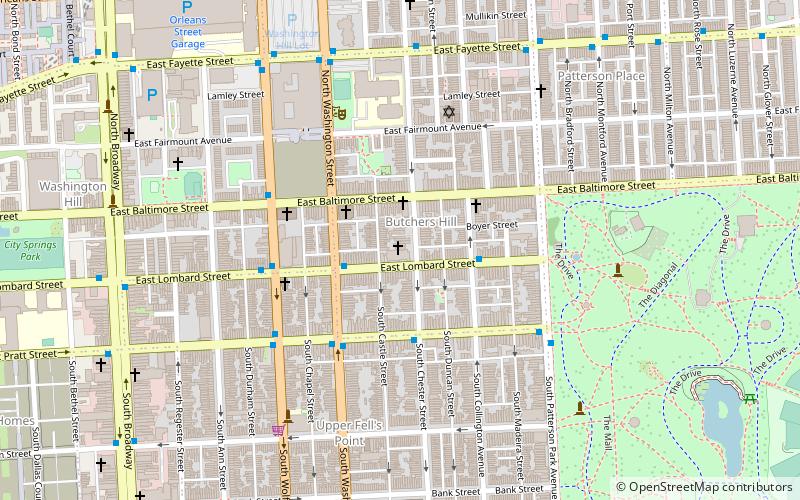
Nearby attractions include: Greektown, Patterson Park, St. Michael the Archangel Ukrainian Catholic Church, Saint Wenceslaus Roman Catholic Church.


Frequently Asked Questions (FAQ)
Which popular attractions are close to Baltimore Highlands?
Nearby attractions include Highlandtown, Baltimore (10 min walk), Ellwood Park, Baltimore (12 min walk), Highlandtown Arts District, Baltimore (13 min walk), Kresson, Baltimore (14 min walk).
How to get to Baltimore Highlands by public transport?
The nearest stations to Baltimore Highlands:
Bus
Bus
- Highland Avenue & Gough Street Southbound • Lines: 22, Bl (9 min walk)
- Eastern Avenue & Grundy Street Far-side Westbound • Lines: 22, 63, Bl (12 min walk)