Volker, Kansas City
Map
Facts and practical information
Volker is a historic neighborhood in Kansas City, MO that lies just northwest of the Westport historic and entertainment district. The 39th Street West District and the Old Westport Shopping Center lie within the Volker neighborhood. The boundaries of the Volker Neighborhood are 31st Street on the north and Westport Road/43rd Street on the south. The western boundary is State Line Road. On the east, the boundaries are Roanoke Road on the north side of 39th and Southwest Trafficway south of 39th. ()
Coordinates: 39°2'38"N, 94°34'52"W
Getting there by public transportation
Public transportation stops near this location
- Bus
 Bus
Bus
- Calculate routeEmanuel Cleaver at Oak 5 min walk
- Calculate routeArt Museums 9 min walk
Day trips


Frequently Asked Questions (FAQ)
Which popular attractions are close to Volker?
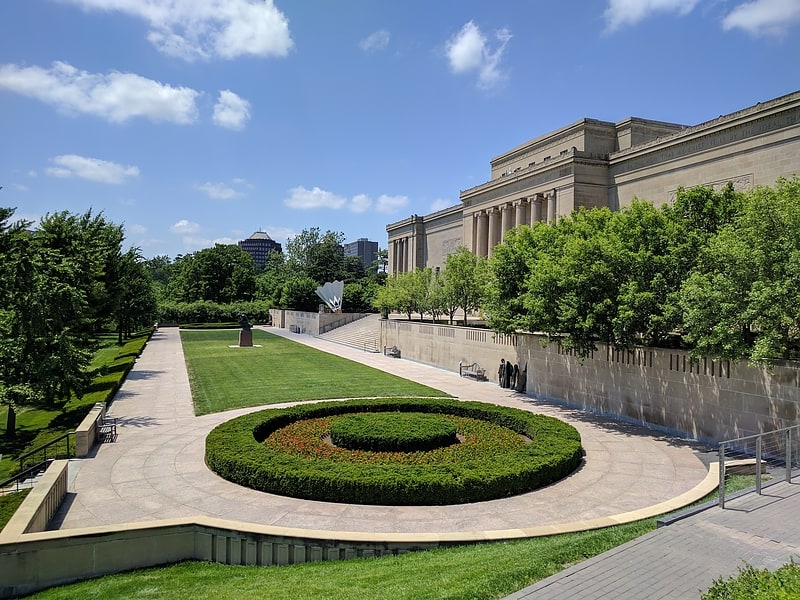
Nearby attractions include Nelson-Atkins Museum of Art, Kansas City (2 min walk), Spencer Art Reference Library, Kansas City (3 min walk), Kansas City Art Institute, Kansas City (5 min walk), Mineral Hall, Kansas City (7 min walk).
How to get to Volker by public transport?
The nearest stations to Volker:
Bus
Bus
- Emanuel Cleaver at Oak • Lines: 55 (5 min walk)
- Art Museums • Lines: Mmax (9 min walk)