Bay City Downtown Historic District, Bay City
Map

Gallery

Facts and practical information
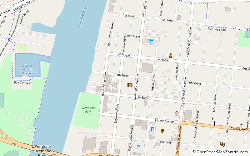
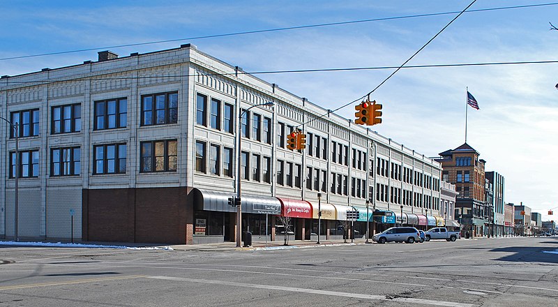
The Bay City Downtown Historic District is a primarily commercial historic district, located in Bay City, Michigan and roughly bounded by the Saginaw River, Second Street, Adam Street, and Center Avenue. It was listed on the National Register of Historic Places in 1985. ()
Coordinates: 43°35'60"N, 83°53'18"W
Address
Bay City
ContactAdd
Social media
Add
Day trips
Bay City Downtown Historic District – popular in the area (distance from the attraction)
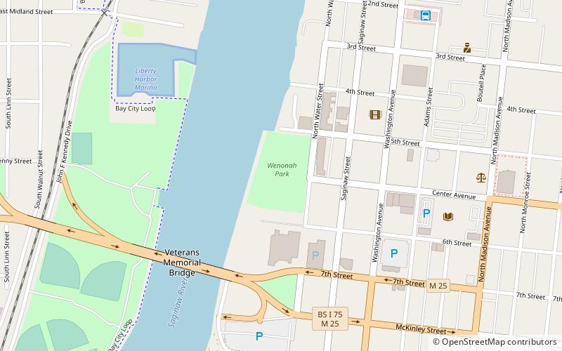
Nearby attractions include: Veterans Memorial Bridge, Veterans Memorial Park, Liberty Bridge, Wenonah Park.
Frequently Asked Questions (FAQ)
Which popular attractions are close to Bay City Downtown Historic District?
Nearby attractions include State Theatre, Bay City (1 min walk), Wenonah Park, Bay City (5 min walk), Alice and Jack Wirt Public Library, Bay City (6 min walk), Liberty Bridge, Bay City (9 min walk).
How to get to Bay City Downtown Historic District by public transport?
The nearest stations to Bay City Downtown Historic District:
Bus
Bus
- Central Bus Station City of Bay City (5 min walk)


