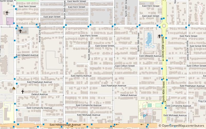
Belmont Heights, Tampa
Map
Facts and practical information
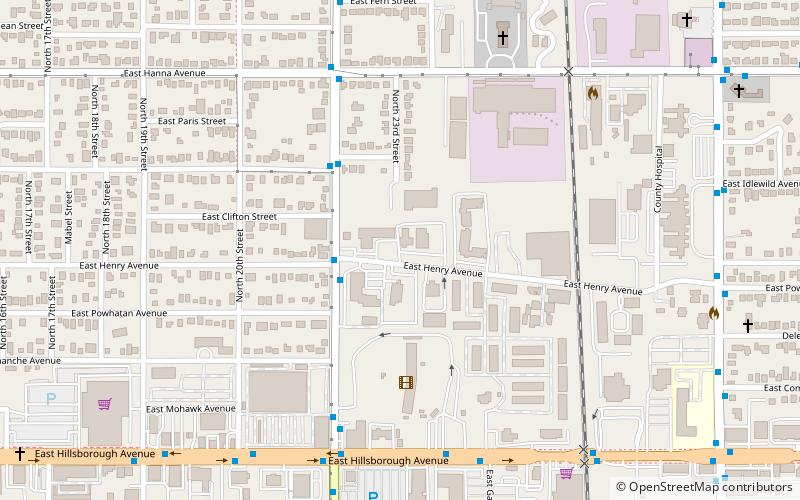
Belmont Heights is a neighborhood within the district of East Tampa, which represents District 5 of the Tampa City Council. Demographically, The neighborhood did not report separately. ()
Coordinates: 28°0'0"N, 82°26'0"W
Address
Northeast Tampa (East Seminole Heights)Tampa
ContactAdd
Social media
Add
Getting there by public transportation
Public transportation stops near this location
- Bus
 Bus
Bus
- Calculate route22nd Street @ Henry Avenue 3 min walk
Day trips

Frequently Asked Questions (FAQ)
Which popular attractions are close to Belmont Heights?
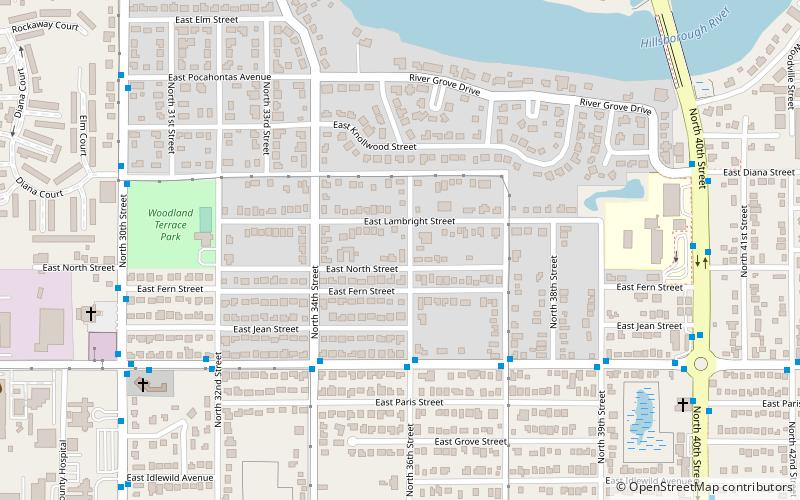
Nearby attractions include Hampton Terrace Historic District, Tampa (22 min walk), Live Oaks Square, Tampa (23 min walk), Woodland Terrace, Tampa (23 min walk).
How to get to Belmont Heights by public transport?
The nearest stations to Belmont Heights:
Bus
Bus
- 22nd Street @ Henry Avenue • Lines: 12 (3 min walk)