Acorn, Oakland
Map
Facts and practical information
Acorn or Acorn Projects are a series of housing projects in the Acorn Redevelopment Project Area or the Acorn neighborhood of West Oakland. Acorn, also known as "The Corns" or the "Cornfields", neighbors a wide variety of public housing. It is bordered by the high rise City Towers Apartments and low rise Mohr Apartments to the South, Cypress Village to the West, Market Street to the east and 10th Street to the north. ()
Coordinates: 37°48'7"N, 122°17'12"W
Address
West Oakland (Acorn Industrial)Oakland
ContactAdd
Social media
Add
Getting there by public transportation
Public transportation stops near this location
- Metro
- Bus
- Train
- Ferry
 Metro
Metro
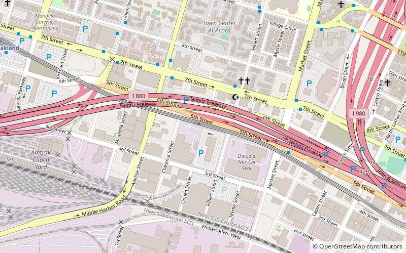
- Calculate route7th Street & Filbert Street 3 min walk
- Calculate route7th Street & Adeline Street 4 min walk
- Calculate routeAdeline Street & 7th Street 5 min walk
- Calculate route5th Street & Market Street 6 min walk
- Calculate routeWest Oakland 13 min walk
- Calculate routeOakland City Center - 12th Street 21 min walk
- Calculate route19th Street Oakland 28 min walk
- Calculate routeOakland Jack London Square Terminal 16 min walk
- Calculate routeAlameda Main Street Terminal 23 min walk
- Calculate routeOakland-Jack London Square 26 min walk
Day trips


Frequently Asked Questions (FAQ)
Which popular attractions are close to Acorn?
Nearby attractions include The Crucible, Oakland (8 min walk), Greek Orthodox Church of the Assumption, Oakland (12 min walk), Port of Oakland, Oakland (12 min walk), Peralta Villa, Oakland (12 min walk).
How to get to Acorn by public transport?
The nearest stations to Acorn:
Bus
Metro
Ferry
Train
Bus
- 7th Street & Filbert Street • Lines: 62, 800 (3 min walk)
- 7th Street & Adeline Street • Lines: 36, 62, 800 (4 min walk)
Metro
- West Oakland • Lines: Blue, Green, Red, Yellow (13 min walk)
- Oakland City Center - 12th Street • Lines: Orange, Red, Yellow (21 min walk)
Ferry
- Oakland Jack London Square Terminal • Lines: San Francisco Bay Ferry (16 min walk)
- Alameda Main Street Terminal • Lines: San Francisco Bay Ferry (23 min walk)
Train
- Oakland-Jack London Square (26 min walk)