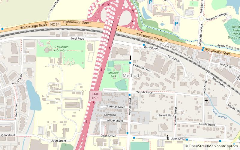
Berry O'Kelly Historic District, Raleigh
Map

Map

Facts and practical information
The Berry O'Kelly Historic District is a 8.4 acres historic district in Raleigh, North Carolina, which was listed on the National Register of Historic Places in 2017. ()
Coordinates: 35°47'34"N, 78°41'40"W
Address
West RaleighRaleigh
ContactAdd
Social media
Add
Day trips
Berry O'Kelly Historic District – popular in the area (distance from the attraction)
Nearby attractions include: North Carolina Museum of Art, Dorton Arena, Doak Field, JC Raulston Arboretum.
Frequently Asked Questions (FAQ)
Which popular attractions are close to Berry O'Kelly Historic District?
Nearby attractions include Hillsborough Street, Raleigh (6 min walk), JC Raulston Arboretum, Raleigh (7 min walk).
How to get to Berry O'Kelly Historic District by public transport?
The nearest stations to Berry O'Kelly Historic District:
Bus
Train
Bus
- Method Rd at Richward Pl • Lines: 12 (2 min walk)
- Beryl Rd at Method Rd • Lines: 12 (4 min walk)
Train
- North Carolina State Fair (21 min walk)


