West Executive Avenue, Washington D.C.
Map
Facts and practical information
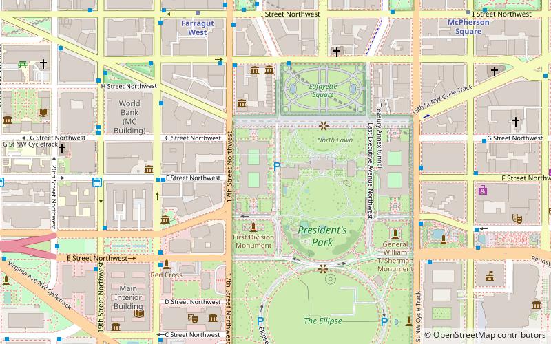
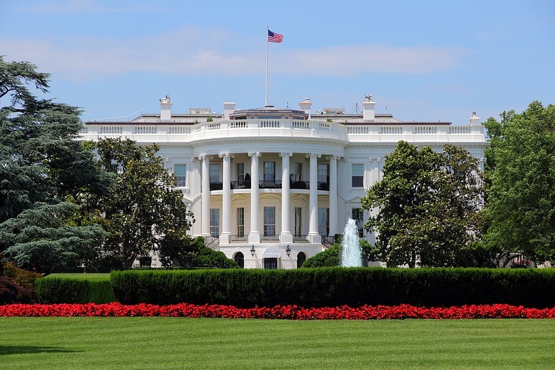
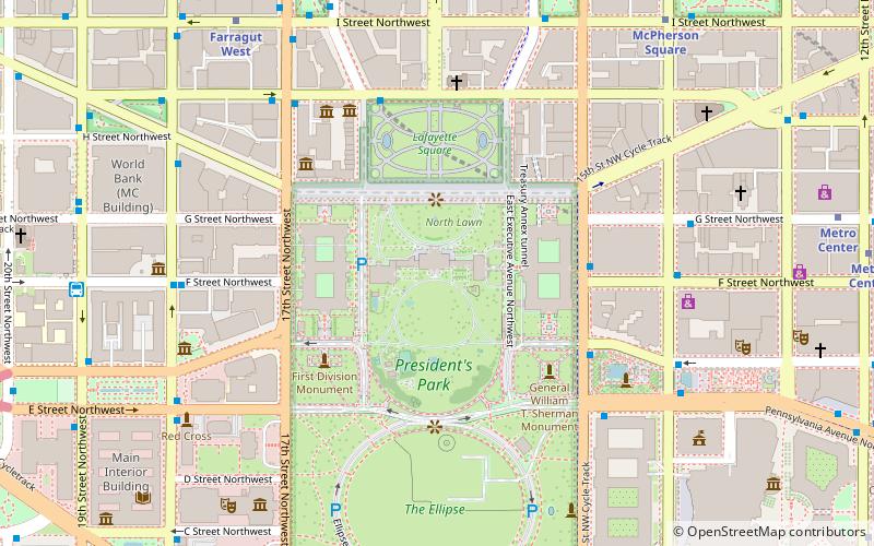
West Executive Avenue Northwest is a closed street in Washington, D.C., that, as of 2017, functions as a parking lot for persons employed by the Executive Office of the President. It runs adjacent to the White House. ()
Coordinates: 38°53'51"N, 77°2'17"W
Address
Northwest Washington (Washington Mall)Washington D.C.
ContactAdd
Social media
Add
Getting there by public transportation
Public transportation stops near this location
- Metro
- Bus
- Train
 Metro
Metro
- Calculate routeFarragut West 8 min walk
- Calculate routeFarragut North 11 min walk
- Calculate route19th St & F St Northwest 8 min walk
- Calculate routeMTA Bus Stop 12 min walk
- Calculate route21st St & F St Northwest 12 min walk
- Calculate routeL'Enfant 32 min walk
Day trips


Frequently Asked Questions (FAQ)
Which popular attractions are close to West Executive Avenue?
Nearby attractions include West Wing, Washington D.C. (1 min walk), Roosevelt Room, Washington D.C. (1 min walk), Oval Office, Washington D.C. (1 min walk), White House Rose Garden, Washington D.C. (2 min walk).
How to get to West Executive Avenue by public transport?
The nearest stations to West Executive Avenue:
Metro
Bus
Train
Metro
- Farragut West • Lines: Bl, Or, Sv (8 min walk)
- Farragut North • Lines: Rd (11 min walk)
Bus
- 19th St & F St Northwest (8 min walk)
- MTA Bus Stop • Lines: 305, 315 (12 min walk)
Train
- L'Enfant (32 min walk)