Skydance Bridge, Oklahoma City
Map
Gallery
Facts and practical information
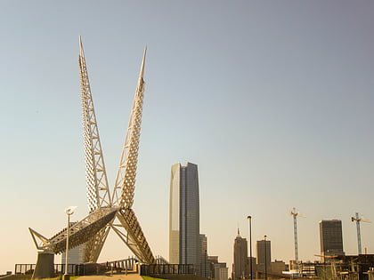
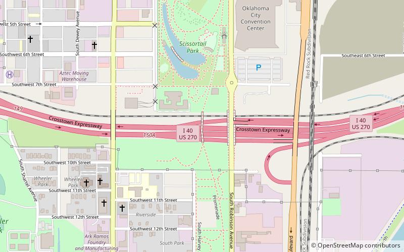
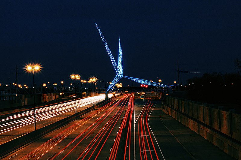
The Skydance Bridge is a pedestrian bridge and public artwork in Oklahoma City, Oklahoma, United States. ()
Coordinates: 35°27'23"N, 97°31'3"W
Address
Central Oklahoma City (Riverside)Oklahoma City
ContactAdd
Social media
Add
Day trips
Skydance Bridge – popular in the area (distance from the attraction)
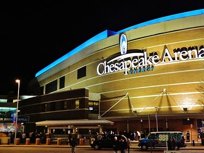
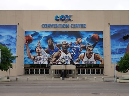
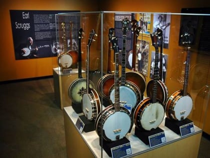
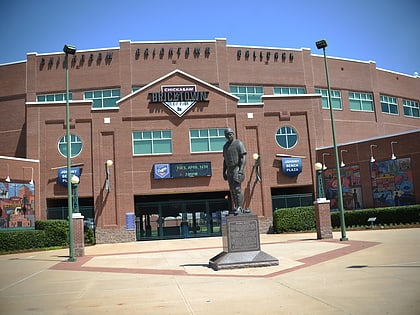
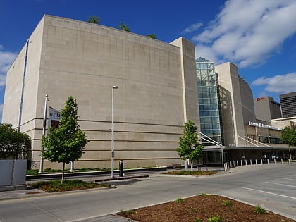
Nearby attractions include: Paycom Center Arena, Cox Convention Center, American Banjo Museum, Chickasaw Bricktown Ballpark.
Frequently Asked Questions (FAQ)
Which popular attractions are close to Skydance Bridge?
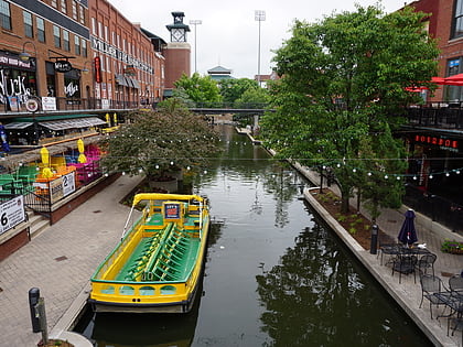
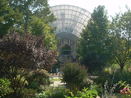
Nearby attractions include New Agape Ministries, Oklahoma City (11 min walk), Bricktown Canal, Oklahoma City (15 min walk), Myriad Botanical Gardens, Oklahoma City (16 min walk), Devon Energy Center, Oklahoma City (19 min walk).
How to get to Skydance Bridge by public transport?
The nearest stations to Skydance Bridge:
Tram
Train
Bus
Tram
- Scissortail Park • Lines: OKC Streetcar Bricktown Loop, OKC Streetcar Downtown Loop (11 min walk)
- Arena • Lines: OKC Streetcar Bricktown Loop, OKC Streetcar Downtown Loop (15 min walk)
Train
- Oklahoma City (17 min walk)
Bus
- The Central Oklahoma Transportation and Parking Authority City Bus Terminal (29 min walk)
