Bridesburg, Philadelphia
Map

Gallery

Facts and practical information
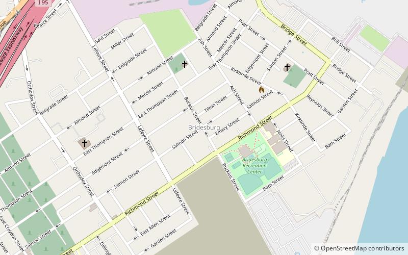
Bridesburg is the northernmost neighborhood in the River Wards section of Philadelphia, Pennsylvania, United States. Bridesburg is an historically German and Irish community, with a significant community of Polish immigrants who arrived mostly in the early- to mid-twentieth century. The community is home to two Catholic churches: All Saints Church, designed by Edwin Forrest Durang, built in 1889; and Saint John Cantius Church, built some time after 1892 in Polish Cathedral style. ()
Coordinates: 40°0'1"N, 75°4'11"W
Address
River Wards (Bridesburg)Philadelphia
ContactAdd
Social media
Add
Day trips
Bridesburg – popular in the area (distance from the attraction)
Nearby attractions include: Betsy Ross Bridge, Delair Bridge, Frankford Branch, John Ruan House.
Frequently Asked Questions (FAQ)
Which popular attractions are close to Bridesburg?
Nearby attractions include St. John Cantius Roman Catholic Church, Philadelphia (7 min walk), Warren G. Harding Middle School, Philadelphia (23 min walk).
How to get to Bridesburg by public transport?
The nearest stations to Bridesburg:
Train
Metro
Train
- Bridesburg (19 min walk)
Metro
- Church • Lines: Mfl (32 min walk)
- Arrott Transportation Center • Lines: Mfl (35 min walk)

 SEPTA Regional Rail


