M Street, Washington D.C.

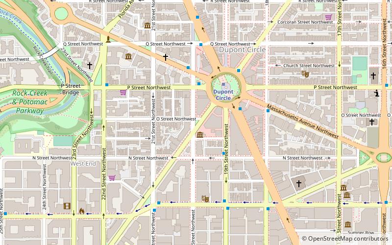
Map
Facts and practical information
The name "M Street" refers to two major roads in the United States capital of Washington, D.C. Because of the Cartesian coordinate system used to name streets in Washington, the name "M Street" can be used to refer to any east-west street located twelve blocks north or south of the dome of the United States Capitol. Thus, in all four quadrants of the city there are streets called "M Street", which are disambiguated by quadrant designations, namely, M Street NW, NE, SW, and SE. ()
Coordinates: 38°54'20"N, 77°2'29"W
Address
Northwest Washington (Dupont Circle)Washington D.C.
ContactAdd
Social media
Add
Getting there by public transportation
Public transportation stops near this location
- Metro
- Bus
 Metro
Metro
- Calculate routeFarragut North 5 min walk
- Calculate routeFarragut West 8 min walk
- Calculate routeMTA Bus Stop 8 min walk
- Calculate route19th St & F St Northwest 16 min walk
- Calculate route21st St & F St Northwest 17 min walk
Day trips
M Street – popular in the area (distance from the attraction)
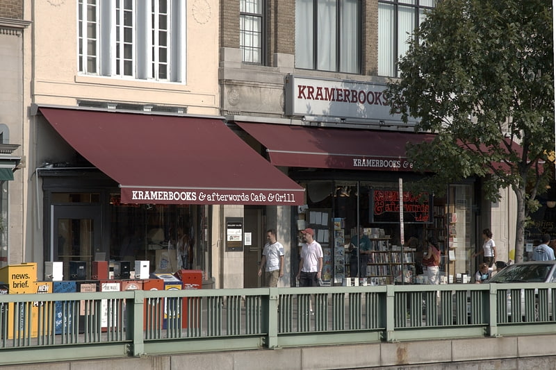
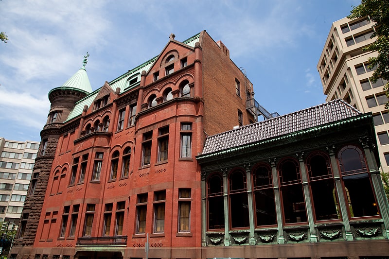
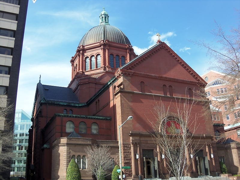
Nearby attractions include: Kramers, Halo, Heurich House Museum, Cathedral of St. Matthew the Apostle.


Frequently Asked Questions (FAQ)
Which popular attractions are close to M Street?
Nearby attractions include Henry Wadsworth Longfellow Memorial, Washington D.C. (1 min walk), Demonet Building, Washington D.C. (2 min walk), Elizabeth Arden Building, Washington D.C. (2 min walk), Cathedral of St. Matthew the Apostle, Washington D.C. (3 min walk).
How to get to M Street by public transport?
The nearest stations to M Street:
Metro
Bus
Metro
- Farragut North • Lines: Rd (5 min walk)
- Farragut West • Lines: Bl, Or, Sv (8 min walk)
Bus
- MTA Bus Stop • Lines: 305, 315 (8 min walk)
- 19th St & F St Northwest (16 min walk)