Port Tampa, Tampa
Map
Facts and practical information
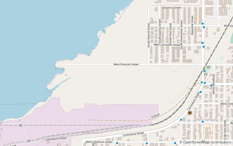
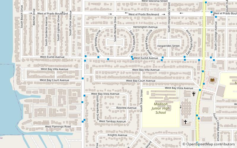
Port Tampa is a neighborhood in the southwesternmost portion within the city limits of Tampa, Florida, on the western end of the Interbay Peninsula. Within this neighborhood is Picnic Island Park as well as Westshore Elementary school. ()
Coordinates: 27°52'0"N, 82°31'60"W
Address
Southwest Tampa (Port Tampa City)Tampa
ContactAdd
Social media
Add
Getting there by public transportation
Public transportation stops near this location
- Bus
 Bus
Bus
- Calculate routeElliot Street @ Ingraham Street 9 min walk
- Calculate routeIngraham Street @ Sherrill Street 9 min walk
- Calculate routeKissimmee Street @ Commerce Street 10 min walk
- Calculate routeCommerce Strret @ Westshore Boulevard 10 min walk
Day trips


Frequently Asked Questions (FAQ)
How to get to Port Tampa by public transport?
The nearest stations to Port Tampa:
Bus
Bus
- Elliot Street @ Ingraham Street • Lines: 17 (9 min walk)
- Ingraham Street @ Sherrill Street • Lines: 17 (9 min walk)