Driving Park, Columbus
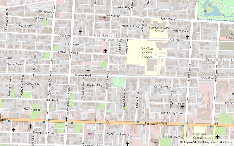
Map
Gallery
Facts and practical information
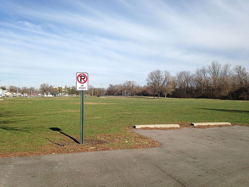
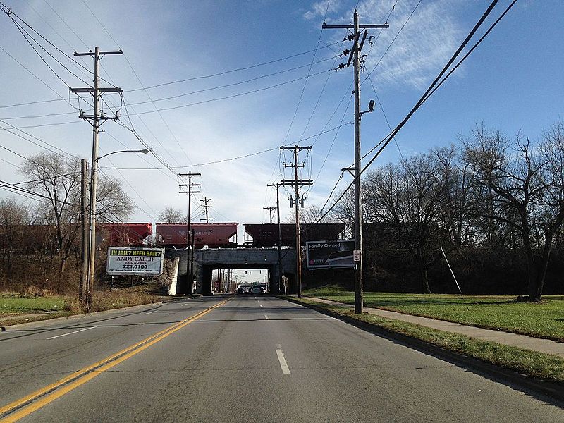
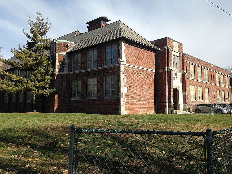
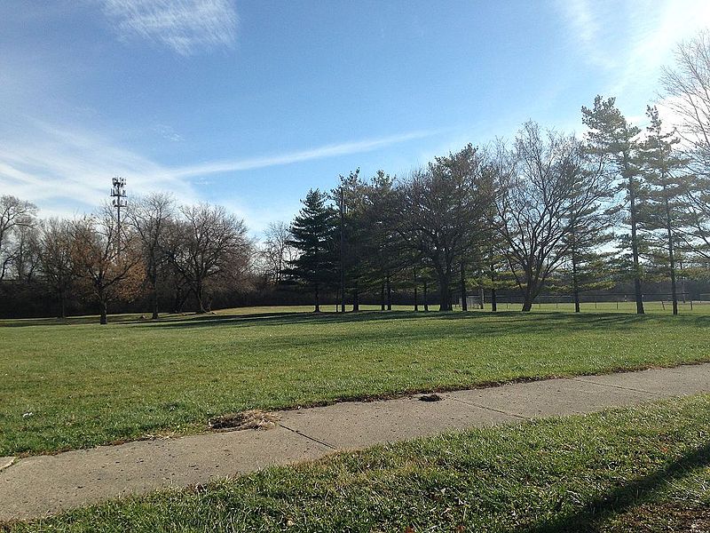
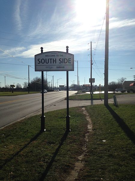
Driving Park is an urban residential area on the Near East Side of Columbus, Ohio just south of Interstate 70. Mainly a middle-class, predominantly African American neighborhood, Driving Park and its surrounding neighborhoods consist of an area of 17,730 residents. Driving Park received its name from its historic past as a large racing complex, first for horses and later for automobiles. ()
Coordinates: 39°56'53"N, 82°57'13"W
Address
South Columbus (Driving Park)Columbus
ContactAdd
Social media
Add
Day trips
Driving Park – popular in the area (distance from the attraction)
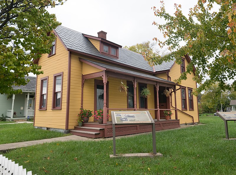
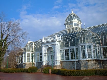
Nearby attractions include: Franklin Park Conservatory, William H. Thomas Gallery, Captain Edward V. Rickenbacker House, Bexley.
Frequently Asked Questions (FAQ)
Which popular attractions are close to Driving Park?
Nearby attractions include Hanford Village George Washington Carver Addition Historic District, Columbus (12 min walk), Captain Edward V. Rickenbacker House, Columbus (12 min walk), Old Oaks Historic District, Columbus (20 min walk).
How to get to Driving Park by public transport?
The nearest stations to Driving Park:
Bus
Bus
- E Livingston Ave & Fairwood Ave • Lines: 1 (2 min walk)


