Phoenix Union High School District, Phoenix
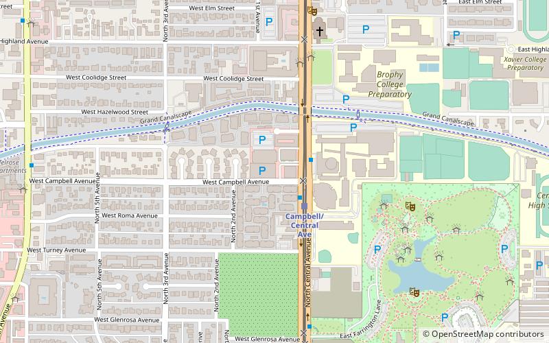
Map
Facts and practical information
The Phoenix Union High School District is a high school-only school district in Phoenix, Arizona, United States. It is one of five high school-only districts in the Phoenix area. ()
Coordinates: 33°30'8"N, 112°4'29"W
Address
Encanto (Central Avenue Corridor)Phoenix
ContactAdd
Social media
Add
Getting there by public transportation
Public transportation stops near this location
- Bus
 Bus
Bus
- Calculate routedisused 12 min walk
- Calculate route13414 13 min walk
Day trips
Phoenix Union High School District – popular in the area (distance from the attraction)
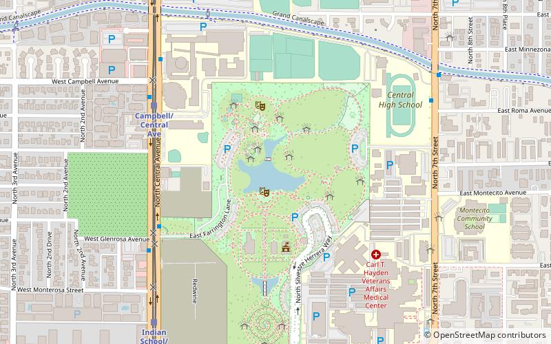
Nearby attractions include: Rhythm Room, Brophy College Chapel, Steele Indian School Park, Central Avenue Corridor.


Frequently Asked Questions (FAQ)
Which popular attractions are close to Phoenix Union High School District?
Nearby attractions include Brophy College Chapel, Phoenix (7 min walk), Steele Indian School Park Pond, Phoenix (9 min walk), Steele Indian School Park, Phoenix (9 min walk), Central Avenue Corridor, Phoenix (18 min walk).
How to get to Phoenix Union High School District by public transport?
The nearest stations to Phoenix Union High School District:
Bus
Bus
- disused • Lines: 50 Eb (12 min walk)
- 13414 • Lines: 50 Wb (13 min walk)