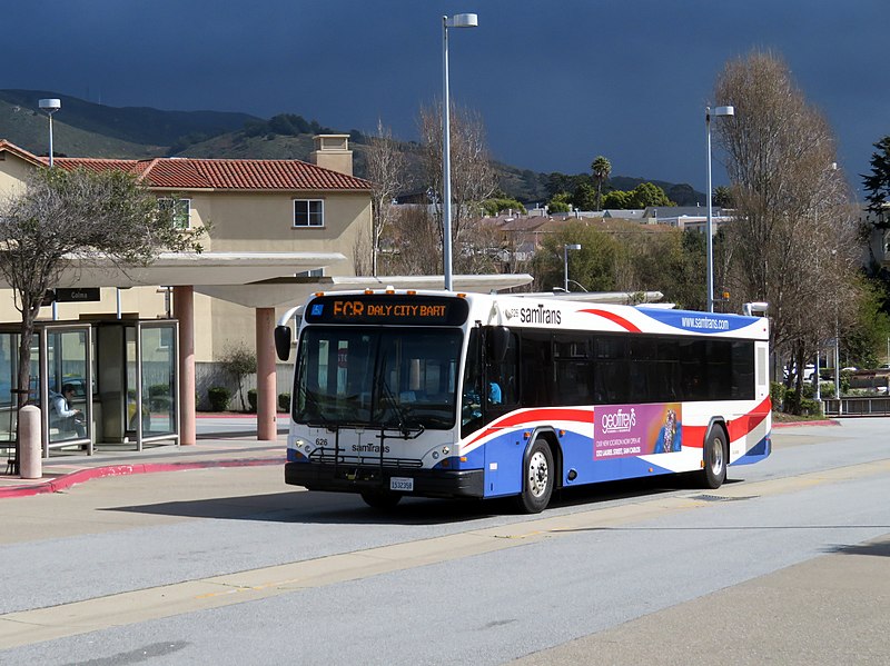
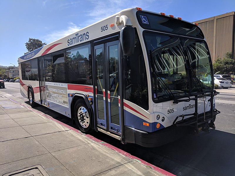
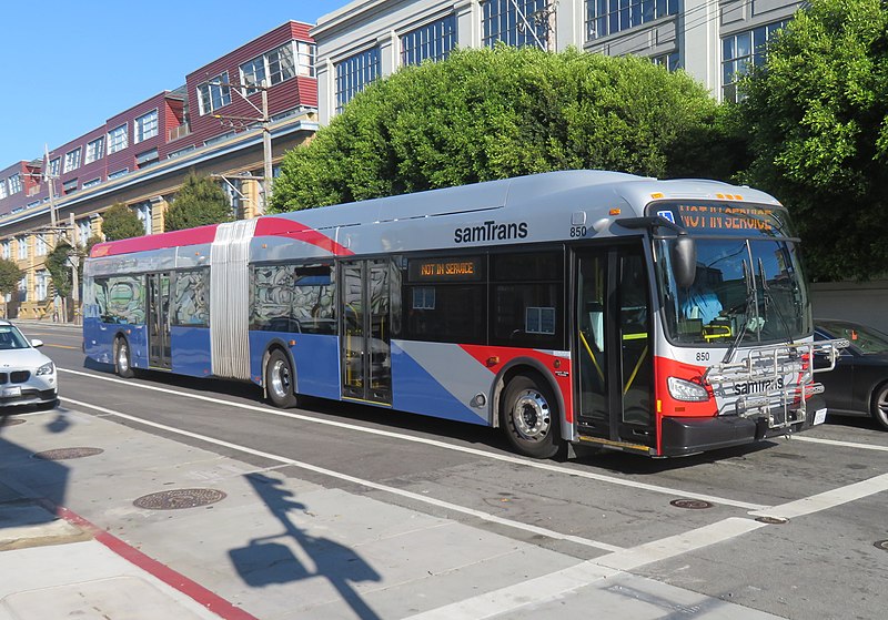
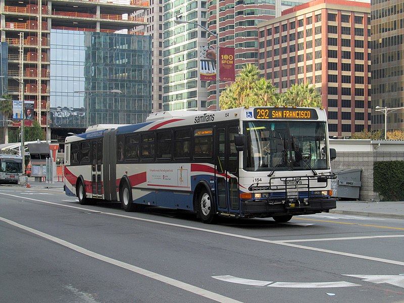
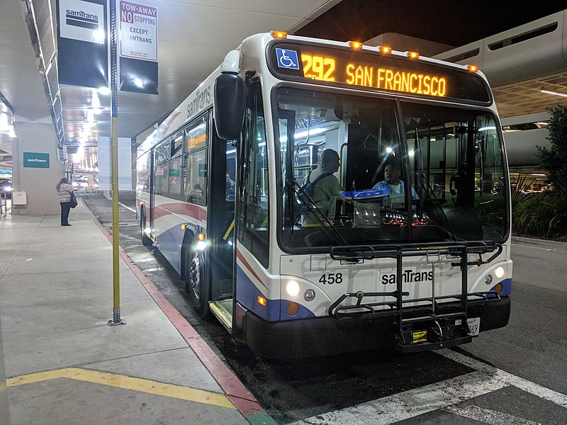
SamTrans fleet, San Mateo
Map
Gallery
Facts and practical information
The San Mateo County Transit District fleet of buses has operated throughout San Mateo County since 1976, after county voters approved the formation of samTrans in 1974 to merge 11 predecessor municipal bus systems. ()
Coordinates: 37°33'36"N, 122°18'36"W
Address
SunnybraeSan Mateo
ContactAdd
Social media
Add
Day trips
SamTrans fleet – popular in the area (distance from the attraction)
Nearby attractions include: Central Park, Downtown San Mateo, San Mateo Arboretum, Peninsula Library System.
Frequently Asked Questions (FAQ)
Which popular attractions are close to SamTrans fleet?
Nearby attractions include San Mateo Arboretum, San Mateo (16 min walk), Central Park, San Mateo (19 min walk), Draper University, San Mateo (21 min walk).
How to get to SamTrans fleet by public transport?
The nearest stations to SamTrans fleet:
Bus
Train
Bus
- South Delaware Street & Birch Avenue • Lines: 292 (4 min walk)
Train
- Hayward Park (13 min walk)
- San Mateo (25 min walk)


