Flattop Mountain Trail, Rocky Mountain National Park
Map

Map

Facts and practical information
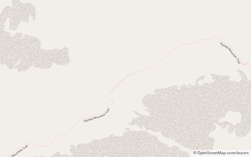
The Flattop Mountain Trail, also known as the Grand Trail or the Big Trail, was built in 1925 in Rocky Mountain National Park in the Larimer County portion of the U.S. state of Colorado. Built in 1925, and rehabilitated in 1940 with Civilian Conservation Corps labor, it is listed on the National Register of Historic Places. The trail begins at 9500 feet of elevation at Bear Lake and climbs Flattop Mountain to a maximum elevation of 12,324 feet on the Continental Divide. ()
Coordinates: 40°18'50"N, 105°40'42"W
Address
Rocky Mountain National Park
ContactAdd
Social media
Add
Day trips
Flattop Mountain Trail – popular in the area (distance from the attraction)
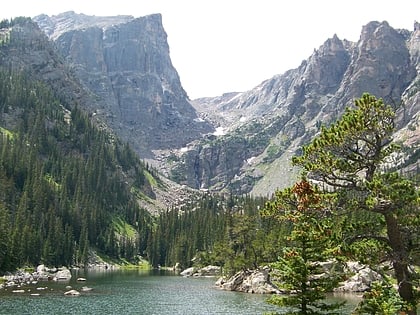
Nearby attractions include: Dream Lake, Hallett Peak, Tyndall Glacier, Northcutt-Carter Route.
Frequently Asked Questions (FAQ)
Which popular attractions are close to Flattop Mountain Trail?
Nearby attractions include Tyndall Glacier, Rocky Mountain National Park (21 min walk), Hallett Peak, Rocky Mountain National Park (22 min walk).


