Boulder Floral Park Historic District, Boulder

Map
Facts and practical information
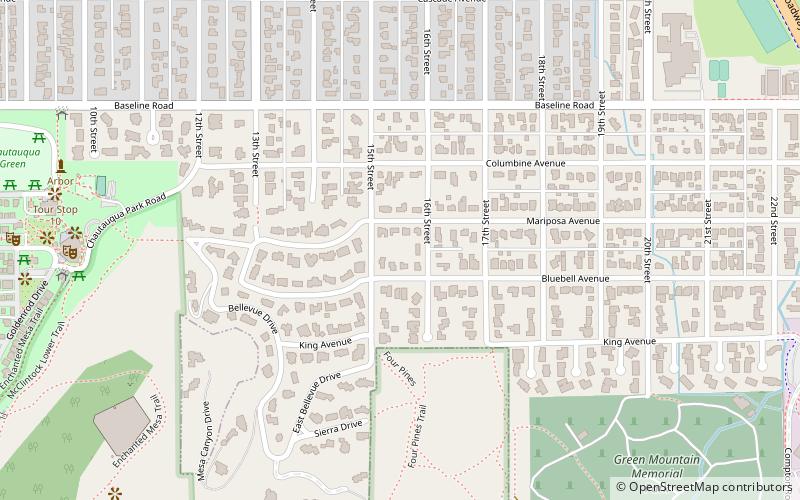
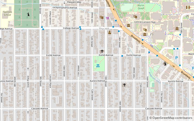
The Floral Park Historic District is a block of eight homes in Boulder, Colorado that constitute the first planned unit development in Boulder County, Colorado. The homes were built between 1939 and 1940 by a cooperative of eight professors from the nearby University of Colorado, and designated as an historic district by the City of Boulder in 1978. ()
Coordinates: 39°59'52"N, 105°16'23"W
Address
Central Boulder (East Chautauqua)Boulder
ContactAdd
Social media
Add
Day trips
Boulder Floral Park Historic District – popular in the area (distance from the attraction)
Nearby attractions include: Flatirons, Folsom Field, Coors Events Center, University of Colorado Boulder.
Frequently Asked Questions (FAQ)
Which popular attractions are close to Boulder Floral Park Historic District?
Nearby attractions include Chautauqua Park, Boulder (10 min walk), Colorado Chautauqua, Boulder (11 min walk), Boulder History Museum, Boulder (15 min walk), Kittredge West Hall, Boulder (16 min walk).


