Mill Basin Bridge, New York City
Map

Map

Facts and practical information
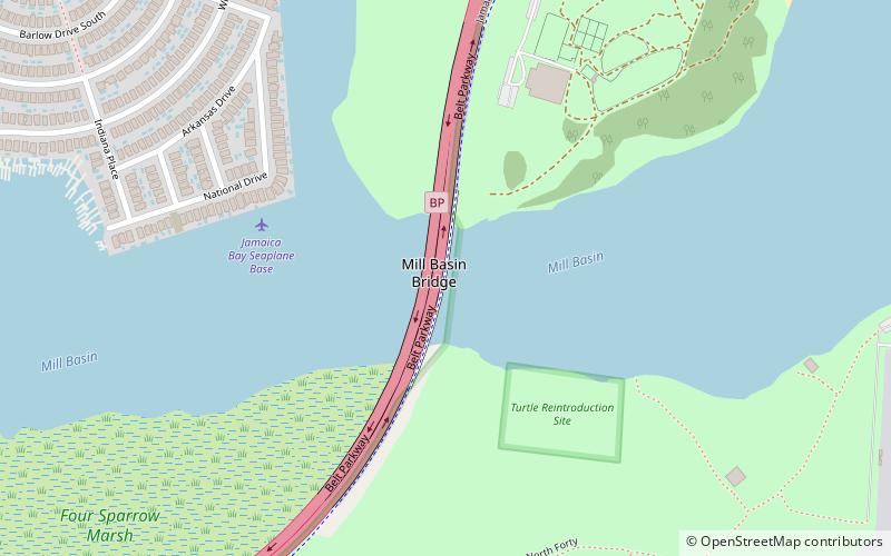
The Mill Basin Bridge is a seven-lane, fixed girder bridge in Brooklyn. It is owned and maintained by the New York City Department of Transportation and spans Mill Basin inlet. Completed in February 2019, the span replaces a Bascule bridge originally constructed in 1940. The bridge carries passenger vehicles via the Belt Parkway and pedestrians and cyclists via the Jamaica Bay Greenway. ()
Coordinates: 40°36'17"N, 73°53'56"W
Address
Southeastern Brooklyn (Floyd Bennett Airfield)New York City
ContactAdd
Social media
Add
Day trips
Mill Basin Bridge – popular in the area (distance from the attraction)
Nearby attractions include: Kings Plaza, Aviator Sports and Events Center, Marine Park Golf Course, Floyd Bennett Field.

 Subway
 Manhattan Buses


