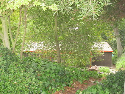
San Rafael Bridge, La Cañada Flintridge
Map
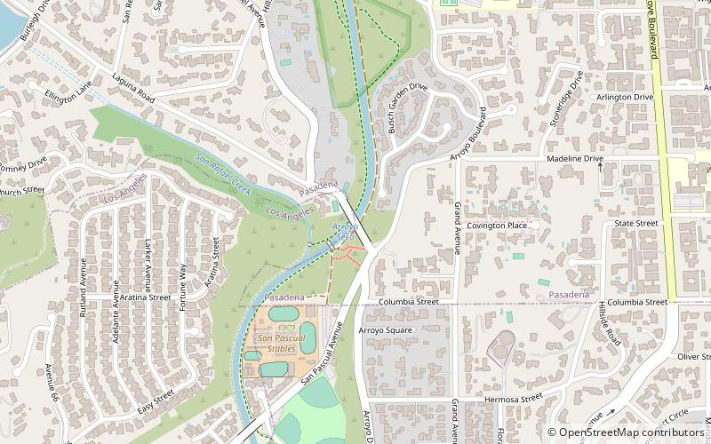
Map

Facts and practical information
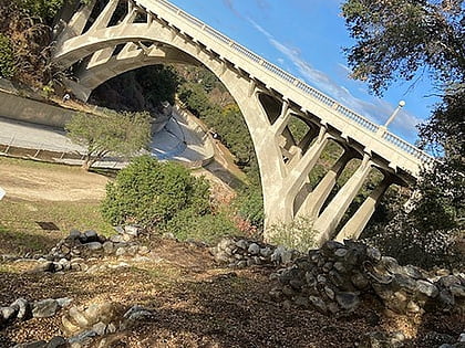
The southernmost of the Pasadena Arroyo Seco bridges, the San Rafael Bridge was constructed in 1922 in Pasadena, California. Like the Colorado Street Bridge built in 1913 and La Loma Bridge built in 1914, the San Rafael Bridge is an open-spandrel concrete arch bridge that is open to pedestrians and car traffic. It was strengthened in 1990. ()
Coordinates: 34°7'32"N, 118°9'56"W
Address
West Pasadena (Lower Arroyo)La Cañada Flintridge
ContactAdd
Social media
Add
Day trips
San Rafael Bridge – popular in the area (distance from the attraction)
Nearby attractions include: Judson Studios, Ambassador Auditorium, Rialto Theatre, Highland Park Police Station.
Frequently Asked Questions (FAQ)
Which popular attractions are close to San Rafael Bridge?
Nearby attractions include John Norton House, La Cañada Flintridge (13 min walk), Arlington Garden, Los Angeles (16 min walk), La Loma Bridge, Los Angeles (16 min walk), Richard and Mary Alice Frank House, La Cañada Flintridge (16 min walk).
How to get to San Rafael Bridge by public transport?
The nearest stations to San Rafael Bridge:
Bus
Light rail
Bus
- Pasadena / Mission • Lines: 258 (18 min walk)
- Mission / Orange Grove • Lines: 258 (19 min walk)
Light rail
- South Pasadena • Lines: L (22 min walk)
- Fillmore • Lines: L (30 min walk)
