Academy, St. Louis
Map

Map

Facts and practical information
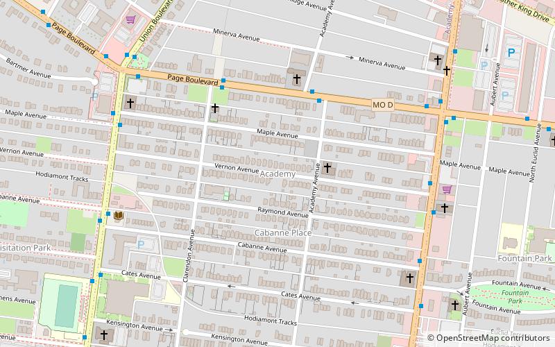
Academy/Sherman Park is a neighborhood in North St. Louis, just outside Central West End. The official boundaries of the area are Dr. Martin Luther King Drive on the north, Delmar Boulevard on the south, North Kingshighway Boulevard on the east, and Union Boulevard on the west. ()
Coordinates: 38°39'30"N, 90°16'2"W
Address
AcademySt. Louis
ContactAdd
Social media
Add
Day trips
Academy – popular in the area (distance from the attraction)
Nearby attractions include: Cathedral Basilica of Saint Louis, Missouri History Museum, World Chess Hall of Fame, One Hundred Above the Park.
Frequently Asked Questions (FAQ)
Which popular attractions are close to Academy?
Nearby attractions include Fountain Park, St. Louis (11 min walk), Visitation Park, St. Louis (12 min walk), Third Degree Glass Factory, St. Louis (13 min walk), Washington Terrace, St. Louis (16 min walk).
How to get to Academy by public transport?
The nearest stations to Academy:
Tram
Light rail
Tram
- Delmar and DeBaliviere • Lines: Loop Trolley (25 min walk)
- Crossroads School • Lines: Loop Trolley (27 min walk)
Light rail
- Forest Park-DeBaliviere • Lines: Blue, Red (31 min walk)


