West Woodland, Seattle
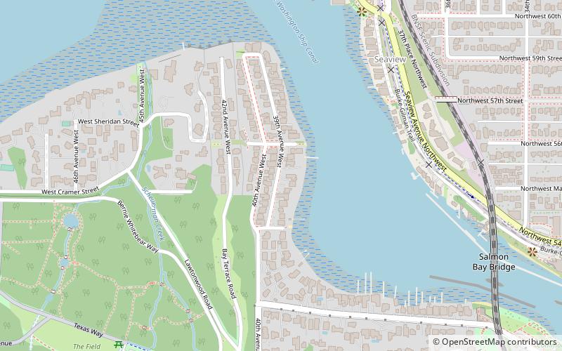
Map
Facts and practical information
West Woodland is a neighborhood in Seattle, Washington. The city's Department of Neighborhoods places West Woodland in the south east corner of Ballard. ()
Coordinates: 47°40'8"N, 122°24'31"W
Address
MagnoliaSeattle
ContactAdd
Social media
Add
Getting there by public transportation
Public transportation stops near this location
- Bus
 Bus
Bus
- Calculate routeDiscovery Park Road & Texas Way 9 min walk
- Calculate routeTexas Way & W Government Way 13 min walk
- Calculate route32nd Ave NW & NW Market St 13 min walk
Day trips


Frequently Asked Questions (FAQ)
Which popular attractions are close to West Woodland?
Nearby attractions include Salmon Bay Bridge, Seattle (10 min walk), Daybreak Star Cultural Center, Seattle (12 min walk), Commodore Park, Seattle (13 min walk), Carl S. English Jr. Botanical Gardens, Seattle (14 min walk).
How to get to West Woodland by public transport?
The nearest stations to West Woodland:
Bus
Bus
- Discovery Park Road & Texas Way • Lines: 33 (9 min walk)
- Texas Way & W Government Way • Lines: 33 (13 min walk)