Olde Town Arvada, Arvada
Map

Map

Facts and practical information
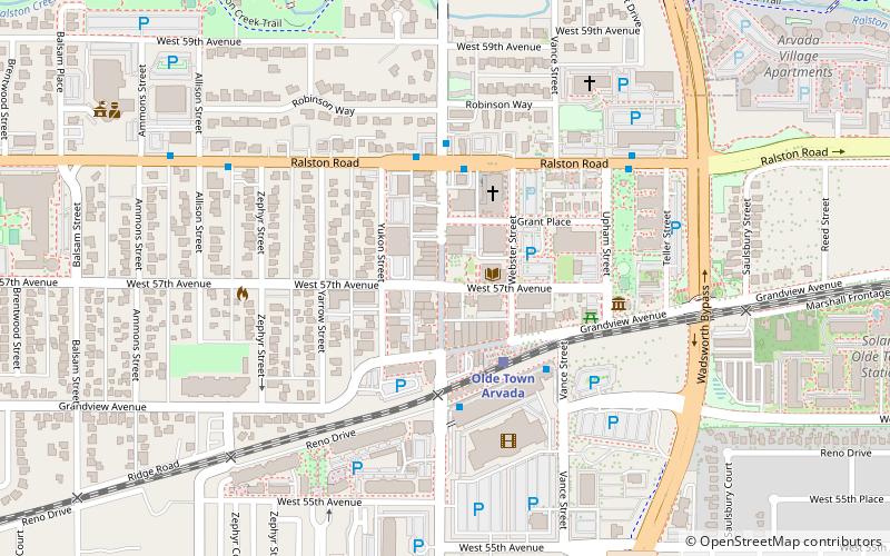
Olde Town Arvada, the 15.1 acres historic district in Arvada, Colorado bounded by Ralston Road, Teller Road, Grandview Avenue and Yukon Street. It was listed on the National Register of Historic Places in 1998. The listing included 42 contributing buildings. ()
Coordinates: 39°48'1"N, 105°4'53"W
Address
Olde Town Arvada AreaArvada
ContactAdd
Social media
Add
Day trips
Olde Town Arvada – popular in the area (distance from the attraction)
Nearby attractions include: Arvada Flour Mill, Lamar Street Center, Shadowlight Theatre, Creekside Park.
Frequently Asked Questions (FAQ)
Which popular attractions are close to Olde Town Arvada?
Nearby attractions include Arvada Flour Mill, Arvada (4 min walk), Lamar Street Center, Arvada (20 min walk).


