Arapahoe Acres, Denver
Map

Map

Facts and practical information
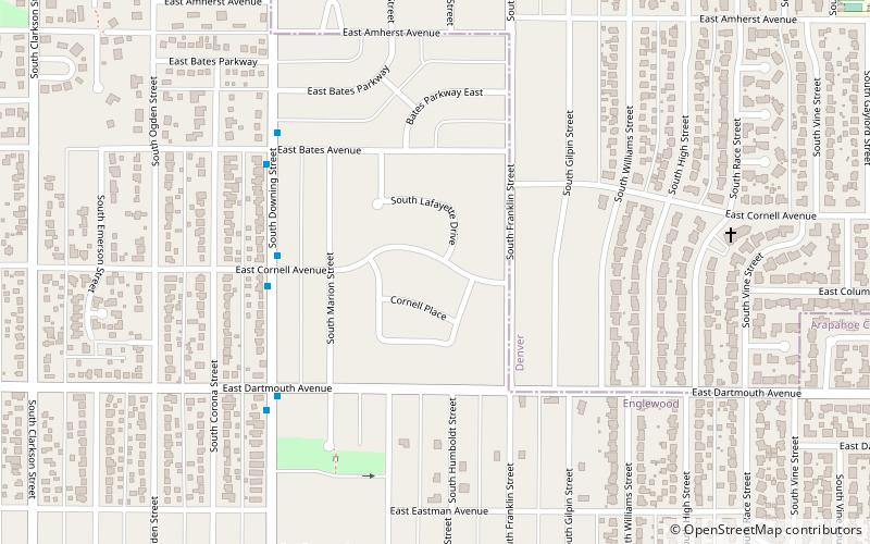
Arapahoe Acres is a neighborhood bounded by East Bates, East Dartmouth Avenues, South Marion, South Franklin Streets in Englewood, Colorado. Built from 1949 to 1957 it provides examples of new patterns developed for residential neighborhoods after World War II. ()
Coordinates: 39°39'44"N, 104°58'13"W
Address
Denver
ContactAdd
Social media
Add
Day trips
Arapahoe Acres – popular in the area (distance from the attraction)
Nearby attractions include: Gothic Theatre, Chamberlin Observatory, Evans Memorial Chapel, University of Denver.
Frequently Asked Questions (FAQ)
Which popular attractions are close to Arapahoe Acres?
Nearby attractions include David W. Brown House, Denver (14 min walk), University, Denver (22 min walk), Little Estate, Englewood (23 min walk).
How to get to Arapahoe Acres by public transport?
The nearest stations to Arapahoe Acres:
Bus
Bus
- South Broadway & Dartmouth Avenue • Lines: (24 min walk)


