Nashua Manufacturing Company Historic District, Nashua
Map

Gallery

Facts and practical information
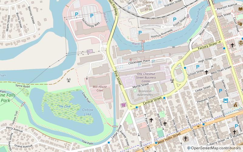
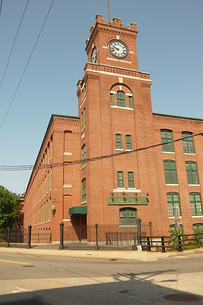
The Nashua Manufacturing Company Historic District in Nashua, New Hampshire, is a historic district that was listed on the National Register of Historic Places in 1987. It encompasses an area just west of downtown Nashua, roughly located along the southern bank of the Nashua River, bordered on the west side by Mine Falls Park, on the south side by the Nashua River canal, up to Ledge Street, and from the east side by Factory, Pine and Water streets, up to the Main Street bridge. ()
Coordinates: 42°45'35"N, 71°28'22"W
Address
Southeast Nashua (Mine Falls Park)Nashua
ContactAdd
Social media
Add
Day trips
Nashua Manufacturing Company Historic District – popular in the area (distance from the attraction)
Nearby attractions include: Holman Stadium, Mine Falls Park, St. Aloysius of Gonzaga Church, Abbot House.
Frequently Asked Questions (FAQ)
Which popular attractions are close to Nashua Manufacturing Company Historic District?
Nearby attractions include Nashua Gummed and Coated Paper Company Historic District, Nashua (7 min walk), St. Stanislaus Parish, Nashua (9 min walk), St. Aloysius of Gonzaga Church, Nashua (9 min walk), Nashua Heritage Rail Trail, Nashua (9 min walk).
How to get to Nashua Manufacturing Company Historic District by public transport?
The nearest stations to Nashua Manufacturing Company Historic District:
Bus
Bus
- Nashua Transit Center (10 min walk)


