The Roads, Miami

Gallery (2)
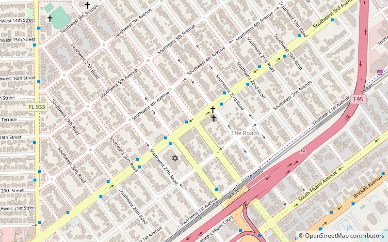
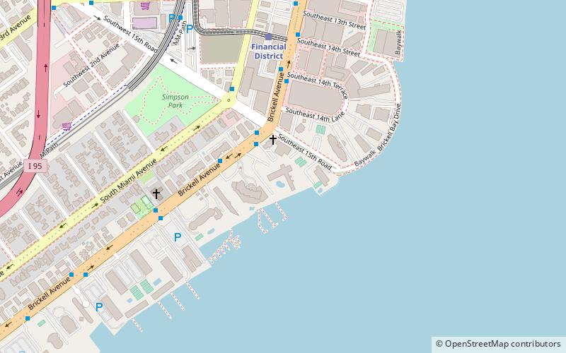
Map
Map
Gallery
Facts and practical information
The Roads is a neighborhood of Miami in Miami-Dade County, Florida, United States. It is a triangular area located south of SW 11th Street, between SW 12th Avenue and SW 15th Road, just west of Brickell. ()
Coordinates: 25°45'22"N, 80°12'26"W
Getting there by public transportation
Public transportation stops near this location
- Metro
- Bus
- Train
 Metro
Metro
- Calculate routeSouthwest 3rd Avenue & Southwest 25th Road 1 min walk
- Calculate routeSouthwest 3rd Avenue & Southwest 24th Road 3 min walk
- Calculate routeSouthwest 3rd Avenue & Southwest 26th Road 3 min walk
- Calculate routeSouthwest 3rd Avenue & Southwest 23rd Road 3 min walk
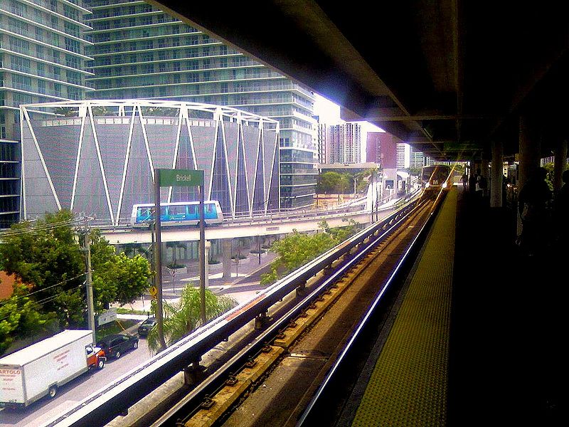
- Calculate routeVizcaya 14 min walk
- Calculate routeBrickell 24 min walk
- Calculate routeBrickell 23 min walk
- Calculate routeFinancial District 25 min walk
- Calculate routeTenth Street/Promenade 28 min walk
- Calculate routeEighth Street 31 min walk
Day trips


Frequently Asked Questions (FAQ)
Which popular attractions are close to The Roads?
Nearby attractions include Sts. Peter & Paul Catholic Church, Miami (13 min walk), Alice Wainwright Park, Miami (15 min walk), Skyline on Brickell, Miami (15 min walk), Atlantis Condominium, Miami (15 min walk).
How to get to The Roads by public transport?
The nearest stations to The Roads:
Bus
Metro
Train
Bus
- Southwest 3rd Avenue & Southwest 25th Road • Lines: 24 (1 min walk)
- Southwest 3rd Avenue & Southwest 24th Road • Lines: 24, Cor (3 min walk)
Metro
- Vizcaya • Lines: Green, Orange (14 min walk)
- Brickell • Lines: Green, Orange (24 min walk)
Train
- Brickell (23 min walk)
- Financial District (25 min walk)