Historic Inner East, Dayton
Map
Facts and practical information
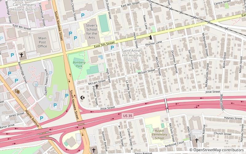
The Historic Inner East neighborhood is located in Dayton, Ohio, United States. The neighborhood boundaries include two historic districts: Saint Anne's Hill Historic District and Huffman Historic District. The neighborhood has a population of a little over 3,000. ()
Coordinates: 39°45'24"N, 84°10'23"W
Address
Historic Inner EastDayton
ContactAdd
Social media
Add
Day trips


Frequently Asked Questions (FAQ)
Which popular attractions are close to Historic Inner East?
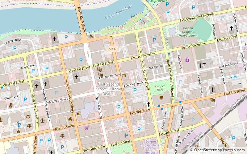
Nearby attractions include Saint Anne's Hill Historic District, Dayton (3 min walk), Islamic Society of Greater Dayton, Dayton (5 min walk), St. Mary's Catholic Church, Dayton (10 min walk), Huffman Historic District, Dayton (12 min walk).